State Park · Missouri
Pershing State Park
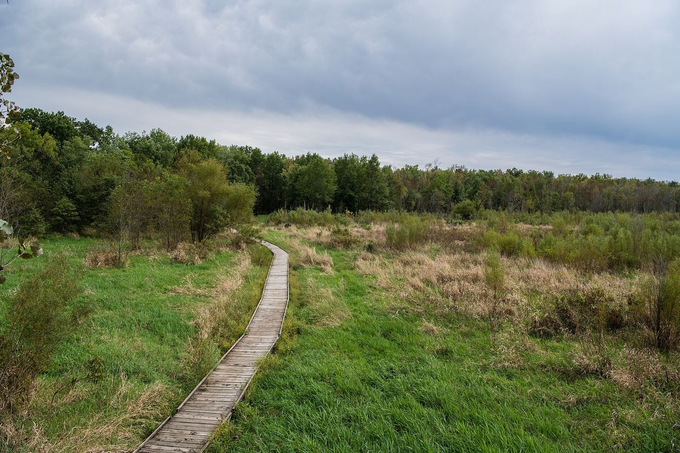
- Location
- Linn County, Missouri
- Nearest town
- 7.7 miles west of Brookfield
- Type
- State Park
About Pershing State Park
Named for General of the Armies John J. Pershing, who commanded U.S. forces in Europe during World War I and grew up nearby in Laclede, this park spans more than 5,000 acres off U.S. Route 36. The land was set aside as a public recreation area, giving visitors a large stretch of ground tied to the memory of the local-born military leader.
Hours, fees, camping, reservations and closures are set by the park and change often. Check the official park site before you go.
Getting there
Pershing State Park is in Linn County, Missouri, 7.7 miles west of Brookfield. The Directions button takes you to the park's mapped location; the entrance may be elsewhere, so check the official site for the address to use.
State parks near Pershing State Park
Within 60 miles, closest first, straight-line. All 73 in Missouri →
 Locust Creek Covered Bridge State Historic SiteState Historic Site · Linn County, MO2.5 miNW
 Crowder State ParkState Park · Grundy County, MO33 miNW
 Van Meter State ParkState Park · Saline County, MO34 miS
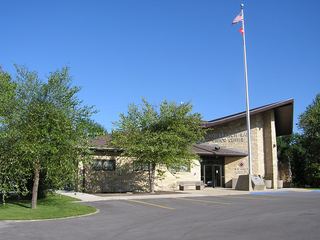 Long Branch State ParkState Park · Macon County, MO36 miE
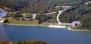 Thousand Hills State ParkState Park · Adair County, MO42 miNE
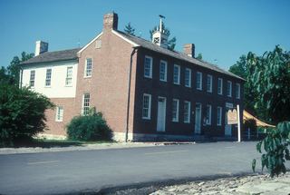 Arrow Rock State Historic SiteState Historic Site · Saline County, MO44 miS
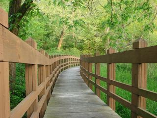 Wallace State ParkState Park · Clinton County, MO54 miW
Towns near Pershing State Park
State parks near Marshall, State parks near Kirksville, State parks near Moberly
Facts from Wikidata, checked September 25, 2026. Distances are straight-line.