State Park · Missouri
Van Meter State Park
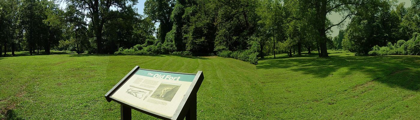
- Location
- Saline County, Missouri
- Nearest town
- 11 miles north of Marshall
- Type
- State Park
About Van Meter State Park
The Missouri River borders this 1,105 acre park, which spans hills, ravines, fens, freshwater marsh, and bottomland and upland forest in a landform area called The Pinnacles. Several archaeological sites lie within its boundaries, along with a cultural center. Trails, camping areas, and fishing access give visitors ways to explore the terrain, and the Missouri Department of Natural Resources manages the grounds.
Hours, fees, camping, reservations and closures are set by the park and change often. Check the official park site before you go.
Getting there
Van Meter State Park is in Saline County, Missouri, 11 miles north of Marshall. The Directions button takes you to the park's mapped location; the entrance may be elsewhere, so check the official site for the address to use.
State parks near Van Meter State Park
Within 60 miles, closest first, straight-line. All 73 in Missouri →
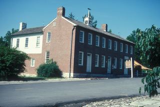 Arrow Rock State Historic SiteState Historic Site · Saline County, MO19 miSE
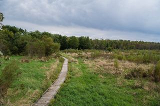 Pershing State ParkState Park · Linn County, MO34 miN
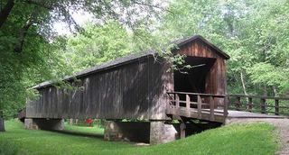 Locust Creek Covered Bridge State Historic SiteState Historic Site · Linn County, MO36 miN
- Knob Noster State ParkState Park · Johnson County, MO40 miSW
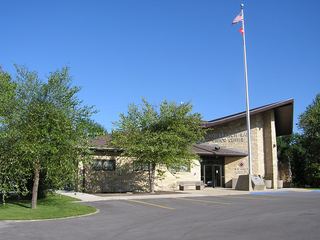 Long Branch State ParkState Park · Macon County, MO52 miNE
 Finger Lakes State ParkState Park · Boone County, MO52 miE
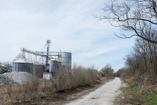 Rock Island Trail State ParkState Park · Henry County, MO52 miS
- Watkins Mill State ParkState Park · Clay County, MO54 miW
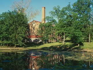 Watkins Woolen Mill State Park and State Historic SiteState Historic Site · Clay County, MO54 miW
Towns near Van Meter State Park
State parks near Marshall, State parks near Sedalia, State parks near Warrensburg, State parks near Moberly
Facts from Wikidata, checked September 25, 2026. Distances are straight-line.