State Park · New Jersey
High Point State Park
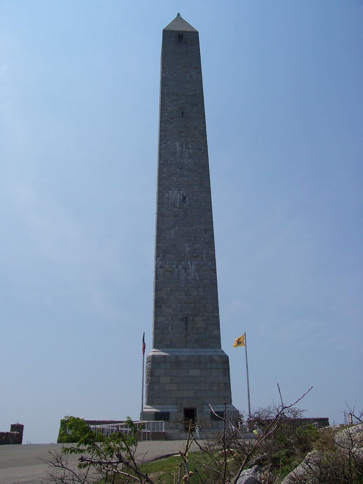
- Location
- Sussex County, New Jersey
- Nearest town
- 7.2 miles northwest of Sussex
- Type
- State Park
About High Point State Park
The summit within the park's northern section rises to 1,803 feet, marking the highest elevation anywhere in New Jersey. Spanning 15,413 acres across Wantage and Montague Townships in the Kittatinny Mountains, the land sits near the tri-state border with New York and Pennsylvania. Route 23 runs along the park's edge, giving access to visitors coming from New Jersey suburbs and New York. The property has been managed by the state's Division of Parks and Forestry.
Hours, fees, camping, reservations and closures are set by the park and change often. Check the official park site before you go.
Getting there
High Point State Park is in Sussex County, New Jersey, 7.2 miles northwest of Sussex. The Directions button takes you to the park's mapped location; the entrance may be elsewhere, so check the official site for the address to use.
State parks near High Point State Park
Within 60 miles, closest first, straight-line. All 31 in New Jersey →
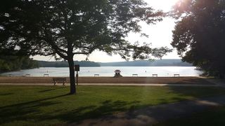 Swartswood State ParkState Park · Sussex County, NJ16 miSW
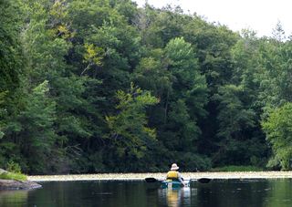 Wawayanda State ParkState Park · Sussex County, NJ17 miSE
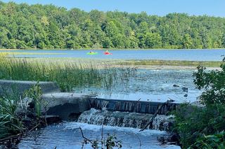 Kittatinny Valley State ParkState Park · Sussex County, NJ19 miS
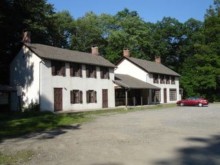 Long Pond Ironworks State ParkState Park · Passaic County, NJ23 miSE
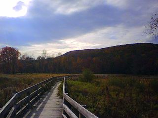 Goosepond Mountain State ParkState Park · Orange County, NY23 miE
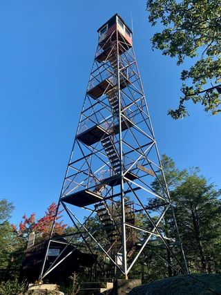 Sterling Forest State ParkState Park · Orange County, NY24 miE
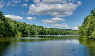 Highland Lakes State ParkState Park · Orange County, NY24 miNE
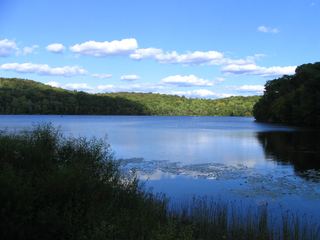 Ringwood State ParkState Park · Passaic County, NJ25 miSE
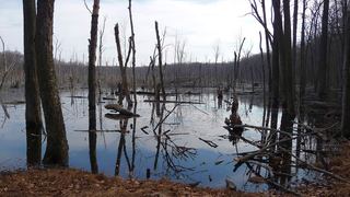 Farny State ParkState Park · Morris County, NJ26 miSE
Towns near High Point State Park
State parks near Middletown, State parks near Kiryas Joel, State parks near Randolph, State parks near East Stroudsburg, State parks near Wayne, State parks near Wawarsing
Facts from Wikidata, checked September 25, 2026. Distances are straight-line.