State Park · New York
Napeague State Park
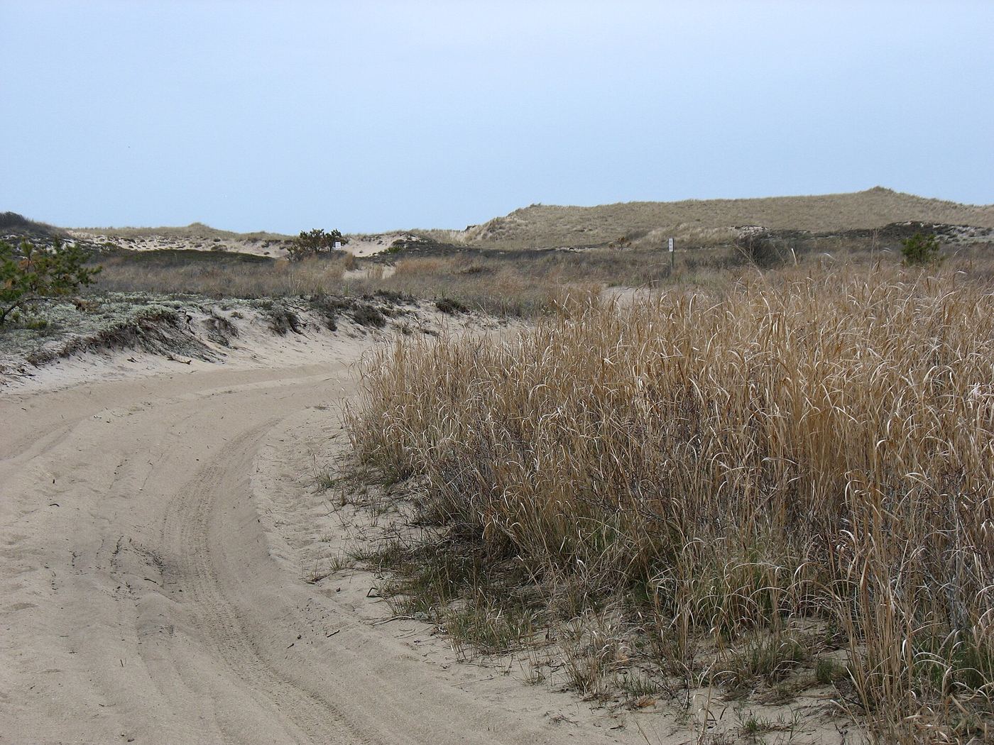
- Location
- Suffolk County, New York
- Nearest town
- 3.7 miles east of Amagansett
- Type
- State Park
About Napeague State Park
1,364 acres of largely undeveloped land make up this park, spanning the full narrow width of Long Island's South Fork. Its terrain reaches from the Atlantic shoreline on one side to Gardiners Bay and Block Island Sound on the other, split by the Montauk Highway as it crosses the Napeague Stretch. The hamlet of Napeague sits right along the park's boundary.
Hours, fees, camping, reservations and closures are set by the park and change often. Contact the state park agency before you go.
Getting there
Napeague State Park is in Suffolk County, New York, 3.7 miles east of Amagansett. The Directions button takes you to the park's mapped location; the entrance may be elsewhere, so check the official site for the address to use.
State parks near Napeague State Park
Within 60 miles, closest first, straight-line. All 167 in New York →
 Hither Hills State ParkState Park · Suffolk County, NY3.8 miE
 Montauk Downs State ParkState Park · Suffolk County, NY8.2 miNE
 Shadmoor State ParkState Park · Suffolk County, NY8.6 miNE
- Amsterdam Beach State ParkState Park · Suffolk County, NY10 miE
 Camp Hero State ParkState Park · Suffolk County, NY12 miNE
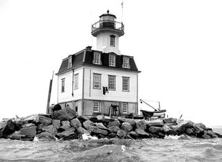 Orient Beach State ParkState Park · Suffolk County, NY14 miNW
 Harkness Memorial State ParkState Park · New London County, CT22 miN
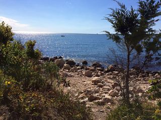 Bluff Point State ParkState Park · New London County, CT23 miN
 Rocky Neck State ParkState Park · New London County, CT24 miN
Towns near Napeague State Park
State parks near Hampton Bays, State parks near Westerly, State parks near Madison, State parks near Norwich, State parks near South Kingstown, State parks near Shirley
Facts from Wikidata, checked September 25, 2026. Distances are straight-line.