State Park · Connecticut
Bluff Point State Park

- Location
- New London County, Connecticut
- Nearest town
- 1.4 miles south of Poquonock Bridge
- Type
- State Park
About Bluff Point State Park
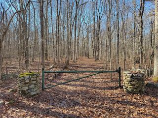
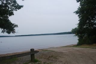
An undeveloped peninsula stretches between the Poquonnock River and Mumford Cove where it meets Long Island Sound, covering 806 acres of barrier beach, steep cliffs, forested land, and tidal wetlands. Of that acreage, 778 acres carry a coastal reserve designation. Visitors can hike or mountain bike across the peninsula, launch boats, cast for saltwater fish, or gather shellfish. The Connecticut Department of Energy and Environmental Protection manages the grounds.
Hours, fees, camping, reservations and closures are set by the park and change often. Check the official park site before you go.
Getting there
Bluff Point State Park is in New London County, Connecticut, 1.4 miles south of Poquonock Bridge. The Directions button takes you to the park's mapped location; the entrance may be elsewhere, so check the official site for the address to use.
State parks near Bluff Point State Park
Within 60 miles, closest first, straight-line. All 94 in Connecticut →
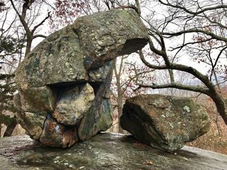 Haley Farm State ParkState Park · New London County, CT1.1 miNE
 Harkness Memorial State ParkState Park · New London County, CT4.6 miW
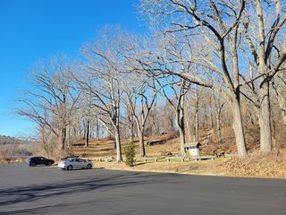 Stoddard Hill State ParkState Park · New London County, CT9.6 miN
 Rocky Neck State ParkState Park · New London County, CT11 miW
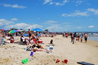 Misquamicut State BeachState Beach · Washington County, RI12 miE
- Minnie Island State ParkState Park · New London County, CT16 miNW
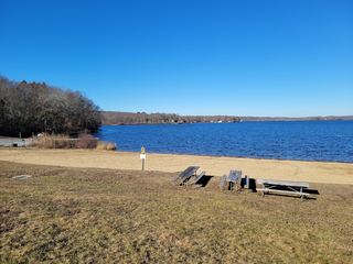 Gardner Lake State ParkState Park · New London County, CT16 miNW
 Hopemead State ParkState Park · New London County, CT16 miNW
 Burlingame State ParkState Park · Washington County, RI17 miE
Towns near Bluff Point State Park
State parks near Westerly, State parks near Norwich, State parks near South Kingstown, State parks near Madison, State parks near Coventry, State parks near Mansfield City
Facts from Wikidata, checked September 25, 2026. Distances are straight-line.