State Park · New York
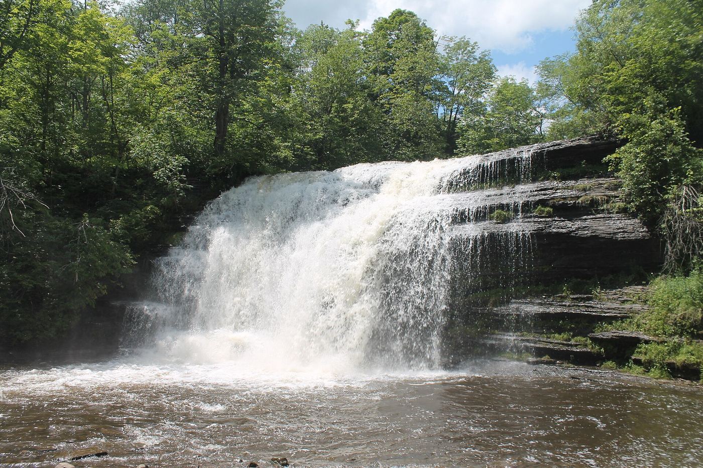
Pixley Falls State Park
- Location
- Oneida County, New York
- Nearest town
- 5.8 miles south of Boonville
- Type
- State Park
About Pixley Falls State Park
A waterfall on a stretch of the Black River drainage gives this park its name, with a drop visible along Route 46 near the community of Hurlbutville. The park covers 375 acres of land set aside around the falls. It sits north of Rome along the same route, giving a sense of its place in the Tug Hill region without depending on distances already noted elsewhere.
Hours, fees, camping, reservations and closures are set by the park and change often. Check the official park site before you go.
Getting there
Pixley Falls State Park is in Oneida County, New York, 5.8 miles south of Boonville. The Directions button takes you to the park's mapped location; the entrance may be elsewhere, so check the official site for the address to use.
State parks near Pixley Falls State Park
Within 60 miles, closest first, straight-line. All 167 in New York →
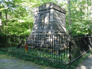 Steuben Memorial State Historic SiteState Historic Site · Oneida County, NY6.9 miSE
 Delta Lake State ParkState Park · Oneida County, NY8.5 miSW
 Whetstone Gulf State ParkState Park · Lewis County, NY22 miN
- Verona Beach State ParkState Park · Oneida County, NY24 miSW
- Old Erie Canal State Historic ParkState Historic Site · Onondaga County, NY37 miSW
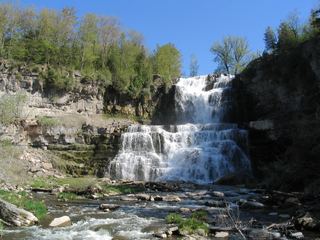 Chittenango Falls State ParkState Park · Madison County, NY39 miSW
 Green Lakes State ParkState Park · Onondaga County, NY40 miSW
- Helen L. McNitt State ParkState Park · Madison County, NY40 miSW
- Selkirk Shores State ParkState Park · Oswego County, NY44 miW
Towns near Pixley Falls State Park
State parks near Utica, State parks near Oneida, State parks near Syracuse, State parks near Watertown
Facts from Wikidata, checked September 25, 2026. Distances are straight-line.