State Natural Area · North Carolina
Mount Jefferson State Natural Area
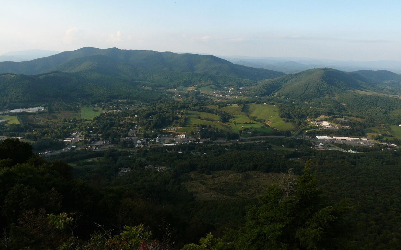
- Location
- Ashe County, North Carolina
- Nearest town
- 1.5 miles southeast of Jefferson
- Type
- State Natural Area
About Mount Jefferson State Natural Area
Mount Jefferson rises within a 1,188-acre tract set aside for its summit and surrounding slopes. The mountain's name honors Thomas Jefferson and his father Peter, who once held land in the area and helped mark the boundary between North Carolina and Virginia in 1749. The National Park Service recognized the site as a National Natural Landmark in 1974.
Hours, fees, camping, reservations and closures are set by the park and change often. Check the official park site before you go.
Getting there
Mount Jefferson State Natural Area is in Ashe County, North Carolina, 1.5 miles southeast of Jefferson. The Directions button takes you to the park's mapped location; the entrance may be elsewhere, so check the official site for the address to use.
State parks near Mount Jefferson State Natural Area
Within 60 miles, closest first, straight-line. All 38 in North Carolina →
 New River State ParkState Park · Ashe County, NC4.3 miE
 Elk Knob State ParkState Park · Watauga County, NC13 miSW
 Grayson Highlands State ParkState Park · Grayson County, VA16 miN
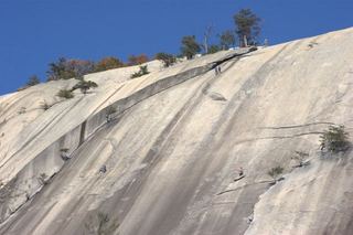 Stone Mountain State ParkState Park · Wilkes County, NC22 miE
- Grandfather Mountain State ParkState Park · Watauga County, NC25 miSW
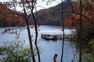 Hungry Mother State ParkState Park · Smyth County, VA33 miN
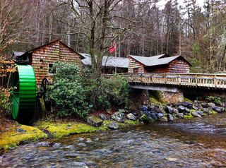 Roan Mountain State ParkState Park · Carter County, TN39 miSW
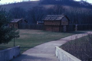 Sycamore Shoals State Historic AreaState Historic Site · Carter County, TN44 miW
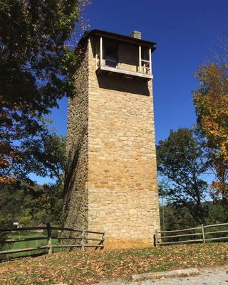 Shot Tower Historical State ParkState Park · Wythe County, VA48 miNE
Towns near Mount Jefferson State Natural Area
State parks near Boone, State parks near Lenoir, State parks near Bristol, State parks near Hickory, State parks near Mount Airy, State parks near Johnson City
Facts from Wikidata, checked September 25, 2026. Distances are straight-line.