State Park · North Carolina
Mount Mitchell State Park
- Location
- Yancey County, North Carolina
- Nearest town
- 10.4 miles south of Burnsville
- Type
- State Park
About Mount Mitchell State Park
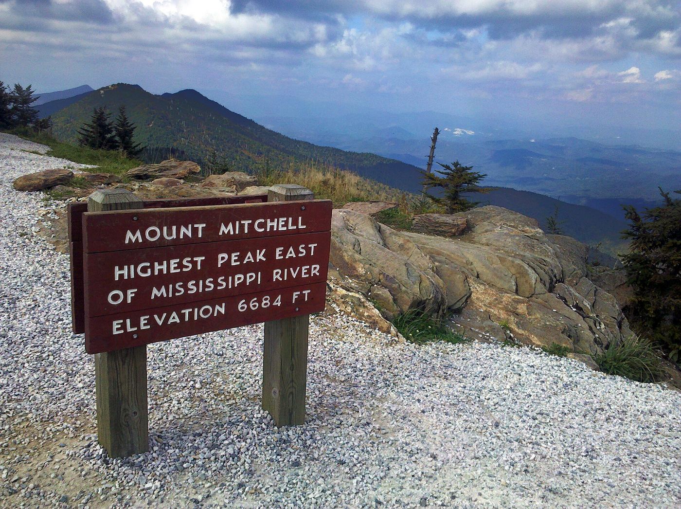
The North Carolina legislature set this land aside in 1915, creating both the park and the state parks system in a single bill, making it the first state park in North Carolina. It spans 4,789 acres and includes the summit of Mount Mitchell, the highest peak east of the Mississippi River. Access is by NC 128, which runs off the Blue Ridge Parkway.
Hours, fees, camping, reservations and closures are set by the park and change often. Check the official park site before you go.
Getting there
Mount Mitchell State Park is in Yancey County, North Carolina, 10.4 miles south of Burnsville. The Directions button takes you to the park's mapped location; the entrance may be elsewhere, so check the official site for the address to use.
State parks near Mount Mitchell State Park
Within 60 miles, closest first, straight-line. All 38 in North Carolina →
 Lake James State ParkState Park · McDowell County, NC21 miE
 Chimney Rock State ParkState Park · Rutherford County, NC23 miS
 Lamar Alexander Rocky Fork State ParkState Park · Unicoi County, TN26 miNW
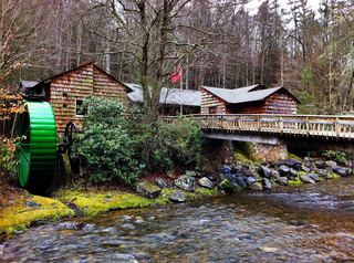 Roan Mountain State ParkState Park · Carter County, TN29 miN
- Pisgah View State ParkState Park · Buncombe County, NC35 miSW
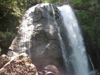 South Mountains State ParkState Park · Burke County, NC36 miE
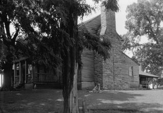 Tipton-Haynes State Historic SiteState Historic Site · Washington County, TN36 miN
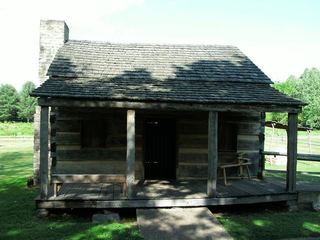 Davy Crockett Birthplace State ParkState Park · Greene County, TN37 miNW
- Grandfather Mountain State ParkState Park · Watauga County, NC38 miNE
Towns near Mount Mitchell State Park
State parks near Asheville, State parks near Hendersonville, State parks near Johnson City, State parks near Lenoir, State parks near Greeneville, State parks near Boone
Facts from Wikidata, checked September 25, 2026. Distances are straight-line.