State Park · Oregon
Hat Rock State Park
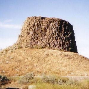
- Location
- Umatilla County, Oregon
- Nearest town
- 7.9 miles northeast of Hermiston
- Type
- State Park
About Hat Rock State Park
Lake Wallula forms the shoreline here, a stretch of the Columbia River backed up behind McNary Dam. The park sits on the lake's south shore, giving access to the reservoir created by the dam. It is reached from U.S. Highway 730, and the surrounding land falls under Oregon Parks and Recreation Department management.
Hours, fees, camping, reservations and closures are set by the park and change often. Check the official park site before you go.
Getting there
Hat Rock State Park is in Umatilla County, Oregon, 7.9 miles northeast of Hermiston. The Directions button takes you to the park's mapped location; the entrance may be elsewhere, so check the official site for the address to use.
State parks near Hat Rock State Park
Within 60 miles, closest first, straight-line. All 137 in Oregon →
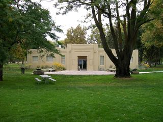 Sacajawea State ParkState Park · Franklin County, WA21 miN
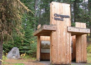 Emigrant Springs State Heritage AreaState Historic Site · Umatilla County, OR43 miSE
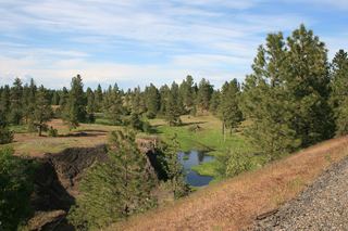 Columbia Plateau State Park TrailState Park · Franklin County, WA58 miNE
- Lewis & Clark Trail State ParkState Park · Columbia County, WA58 miNE
 Hilgard Junction State Recreation AreaState Recreation Area · Union County, OR60 miSE
Towns near Hat Rock State Park
State parks near Hermiston, State parks near Tri-Cities, State parks near Pendleton, State parks near Walla Walla, State parks near Sunnyside
Facts from Wikidata, checked September 25, 2026. Distances are straight-line.