State Park · Pennsylvania
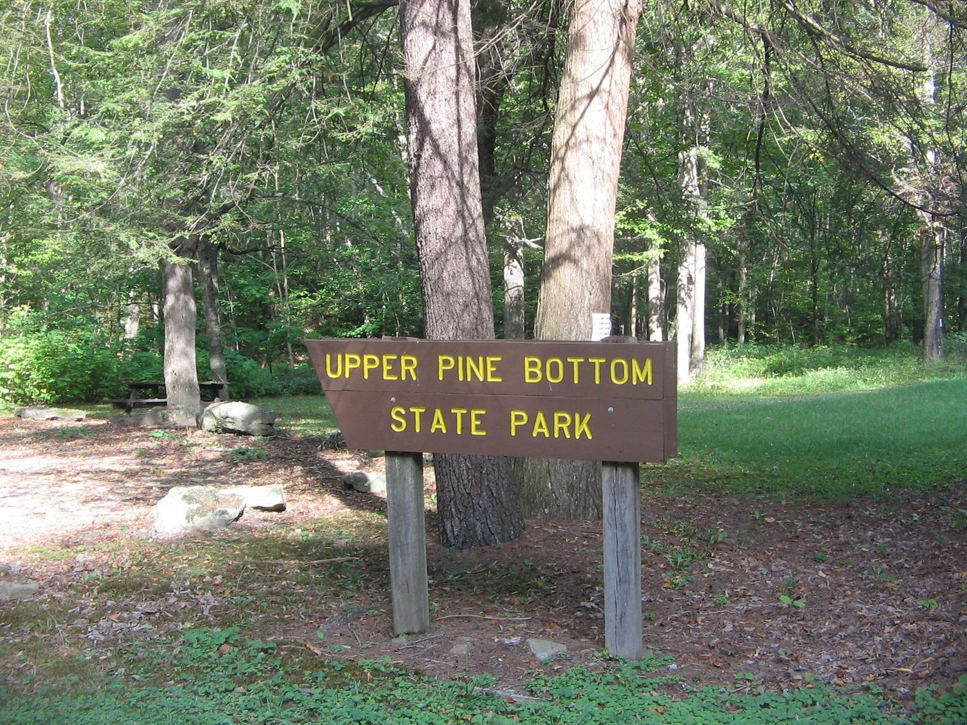
Upper Pine Bottom State Park
- Location
- Lycoming County, Pennsylvania
- Nearest town
- 10.8 miles northwest of Avis
- Type
- State Park
About Upper Pine Bottom State Park
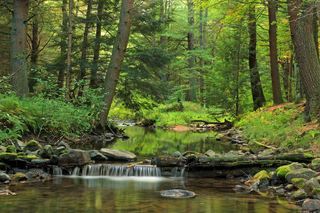
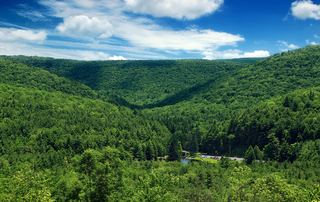
Five acres of park land sit along Upper Pine Bottom Run, the stream that gave the park its name and feeds into Pine Creek. The grounds lie within the Pine Creek Gorge, surrounded entirely by Tiadaghton State Forest, where the run has cut through five distinct rock formations dating to the Devonian and Carboniferous periods. The park sits in Cummings Township directly on Pennsylvania Route 44.
Hours, fees, camping, reservations and closures are set by the park and change often. Check the official park site before you go.
Getting there
Upper Pine Bottom State Park is in Lycoming County, Pennsylvania, 10.8 miles northwest of Avis. The Directions button takes you to the park's mapped location; the entrance may be elsewhere, so check the official site for the address to use.
State parks near Upper Pine Bottom State Park
Within 60 miles, closest first, straight-line. All 114 in Pennsylvania →
 Little Pine State ParkState Park · Lycoming County, PA4.3 miNE
 Hyner View State ParkState Park · Clinton County, PA11 miW
 Hyner Run State ParkState Park · Clinton County, PA11 miW
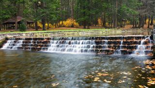 Ravensburg State ParkState Park · Clinton County, PA17 miSE
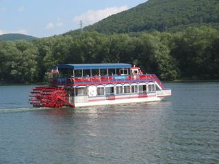 Susquehanna State ParkState Park · Lycoming County, PA19 miE
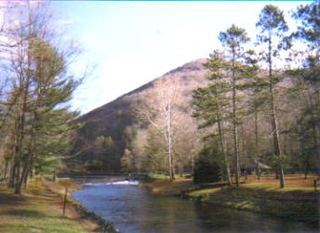 Ole Bull State ParkState Park · Potter County, PA21 miNW
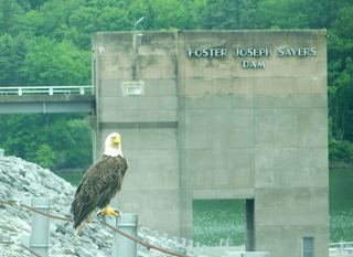 Bald Eagle State ParkState Park · Centre County, PA21 miSW
 McCalls Dam State ParkState Park · Centre County, PA24 miSE
 R. B. Winter State ParkState Park · Union County, PA25 miSE
Towns near Upper Pine Bottom State Park
State parks near Williamsport, State parks near State College, State parks near Shiloh
Facts from Wikidata, checked September 25, 2026. Distances are straight-line.