State Park · Pennsylvania
Bald Eagle State Park
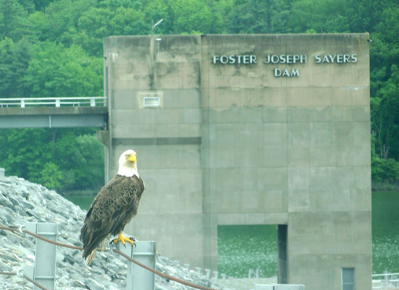
- Location
- Centre County, Pennsylvania
- Nearest town
- 7.7 miles southwest of Mill Hall
- Type
- State Park
About Bald Eagle State Park
The Foster Joseph Sayers Reservoir spans 1,730 acres, created by holding back Bald Eagle Creek along with several smaller streams. Surrounding it, the park stretches across 5,900 acres in Howard, Liberty, and Marion townships, land where the Allegheny Plateau to the north gives way to the Ridge and Valley region to the south. It sits within the Bald Eagle Valley, reached off Route 150 between Milesburg and Lock Haven.
Hours, fees, camping, reservations and closures are set by the park and change often. Check the official park site before you go.
Getting there
Bald Eagle State Park is in Centre County, Pennsylvania, 7.7 miles southwest of Mill Hall. The Directions button takes you to the park's mapped location; the entrance may be elsewhere, so check the official site for the address to use.
State parks near Bald Eagle State Park
Within 60 miles, closest first, straight-line. All 114 in Pennsylvania →
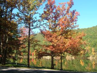 Poe Valley State ParkState Park · Centre County, PA17 miSE
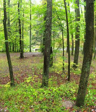 Poe Paddy State ParkState Park · Centre County, PA17 miSE
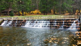 Ravensburg State ParkState Park · Clinton County, PA19 miE
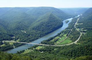 Hyner View State ParkState Park · Clinton County, PA20 miN
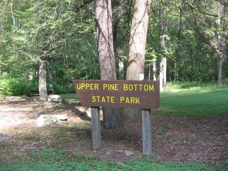 Upper Pine Bottom State ParkState Park · Lycoming County, PA21 miNE
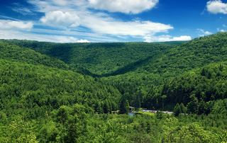 R. B. Winter State ParkState Park · Union County, PA22 miE
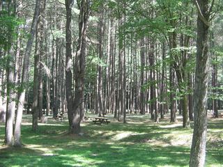 Hyner Run State ParkState Park · Clinton County, PA22 miN
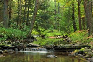 McCalls Dam State ParkState Park · Centre County, PA22 miE
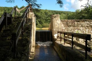 Penn-Roosevelt State ParkState Park · Huntingdon County, PA22 miS
Towns near Bald Eagle State Park
State parks near State College, State parks near Williamsport, State parks near Shiloh
Facts from Wikidata, checked September 25, 2026. Distances are straight-line.