State Park · Utah
Goblin Valley State Park
- Location
- Emery County, Utah
- Nearest town
- 42.9 miles southeast of Ferron
- Type
- State Park
About Goblin Valley State Park
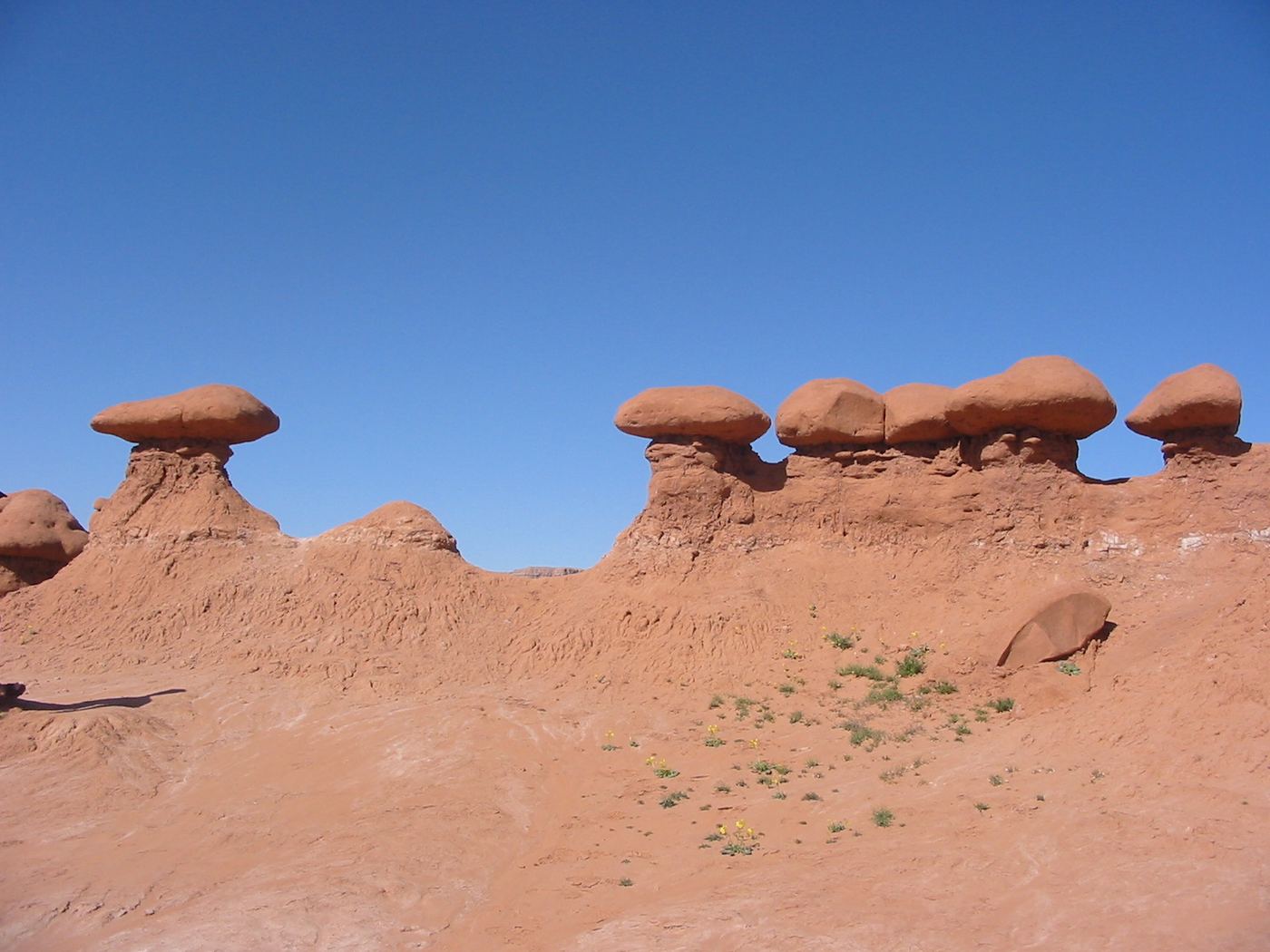
Thousands of mushroom-shaped hoodoos, known locally as goblins, fill this valley, formed where a harder cap rock resisted erosion while the softer sandstone beneath it wore away. The rock formations here are counted among the largest concentrations of hoodoos anywhere in the world, alongside those found at Bryce Canyon National Park. What stands today is the product of that erosion pattern rather than any built structure or human settlement.
Hours, fees, camping, reservations and closures are set by the park and change often. Check the official park site before you go.
Getting there
Goblin Valley State Park is in Emery County, Utah, 42.9 miles southeast of Ferron. The Directions button takes you to the park's mapped location; the entrance may be elsewhere, so check the official site for the address to use.
State parks near Goblin Valley State Park
Within 60 miles, closest first, straight-line. All 46 in Utah →
 Green River State ParkState Park · Emery County, UT42 miNE
- Millsite State ParkState Park · Emery County, UT45 miNW
 Dead Horse Point State ParkState Park · Grand County, UT53 miE
 Huntington State ParkState Park · Emery County, UT55 miN
- Utahraptor State ParkState Park · Grand County, UT55 miE
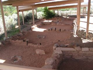 Anasazi State Park MuseumState Park · Garfield County, UT60 miSW
Facts from Wikidata, checked September 25, 2026. Distances are straight-line.