State Park · Vermont
Underhill State Park
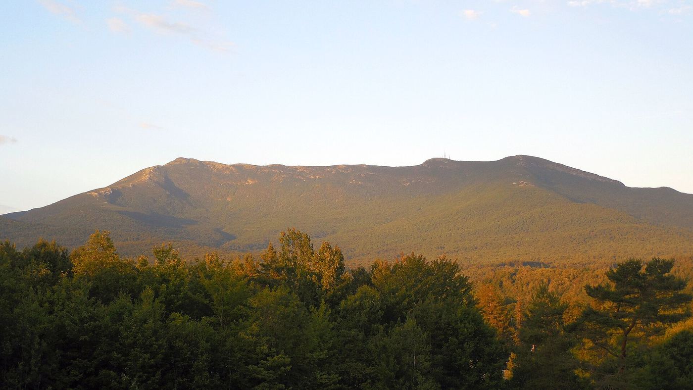
- Location
- Chittenden County, Vermont
- Nearest town
- 8.3 miles east of Jericho
- Type
- State Park
About Underhill State Park
The west slope of Mount Mansfield, Vermont's tallest peak at 4,300 feet, rises directly from this park's grounds within the larger Mount Mansfield State Forest, a 39,837-acre tract. Visitors can hike, camp, mountain bike, fish streams, watch wildlife, and picnic, using group and individual camping areas, a picnic shelter, and trails largely built by the Civilian Conservation Corps in the 1930s. Those structures gained listing on the National Register of Historic Places in 2002.
Hours, fees, camping, reservations and closures are set by the park and change often. Check the official park site before you go.
Getting there
Underhill State Park is in Chittenden County, Vermont, 8.3 miles east of Jericho. The Directions button takes you to the park's mapped location; the entrance may be elsewhere, so check the official site for the address to use.
State parks near Underhill State Park
Within 60 miles, closest first, straight-line. All 57 in Vermont →
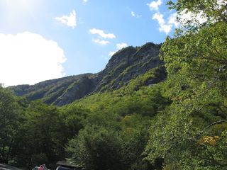 Smugglers' Notch State ParkState Park · Lamoille County, VT2.4 miNE
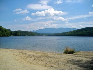 Little River State ParkState Park · Washington County, VT10 miS
- Waterbury Center State ParkState Park · Washington County, VT11 miSE
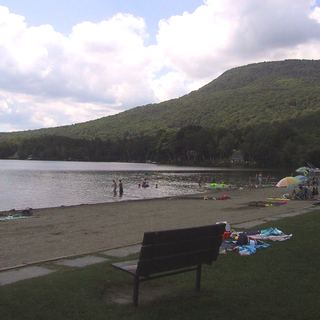 Elmore State ParkState Park · Lamoille County, VT14 miE
 Green River Reservoir State ParkState Park · Lamoille County, VT16 miNE
- Niquette Bay State ParkState Park · Chittenden County, VT18 miW
 Sand Bar State ParkState Park · Chittenden County, VT21 miW
- Law Island State ParkState Park · Chittenden County, VT24 miW
- Kill Kare State ParkState Park · Franklin County, VT24 miNW
Towns near Underhill State Park
Facts from Wikidata, checked September 25, 2026. Distances are straight-line.