State Park · Alabama
Meaher State Park
- Location
- Baldwin County, Alabama
- Nearest town
- 1.3 miles west of Spanish Fort
- Type
- State Park
About Meaher State Park
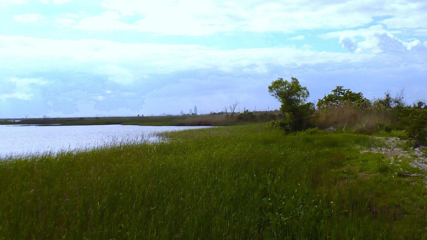
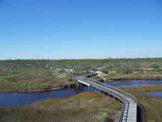
1,327 acres make up this park, spread across Big Island at the north end of Mobile Bay. The land sits along Ducker Bay's shoreline where the bay meets the Mobile-Tensaw River Delta, surrounded by wetlands of the Mobile Bay estuary. Access comes from Battleship Parkway, locally called the Causeway. The Alabama Department of Conservation and Natural Resources manages the grounds.
Hours, fees, camping, reservations and closures are set by the park and change often. Check the official park site before you go.
Getting there
Meaher State Park is in Baldwin County, Alabama, 1.3 miles west of Spanish Fort. The Directions button takes you to the park's mapped location; the entrance may be elsewhere, so check the official site for the address to use.
State parks near Meaher State Park
Within 60 miles, closest first, straight-line. All 24 in Alabama →
 Historic Blakeley State ParkState Park · Baldwin County, AL5.2 miN
- Fort Morgan State Historic SiteState Historic Site · Baldwin County, AL32 miSE
 Gulf State ParkState Park · Baldwin County, AL32 miSE
 Tarkiln Bayou Preserve State ParkState Park · Escambia County, FL37 miSE
- Perdido Key State ParkState Park · Escambia County, FL38 miSE
 Big Lagoon State ParkState Park · Escambia County, FL40 miSE
- Shepard State ParkState Park · Jackson County, MS46 miSW
Towns near Meaher State Park
State parks near Mobile, State parks near Foley, State parks near Cantonment, State parks near Atmore, State parks near Pascagoula, State parks near East Pensacola Heights
Facts from Wikidata, checked September 25, 2026. Distances are straight-line.