State Park · Arkansas
Devil's Den State Park
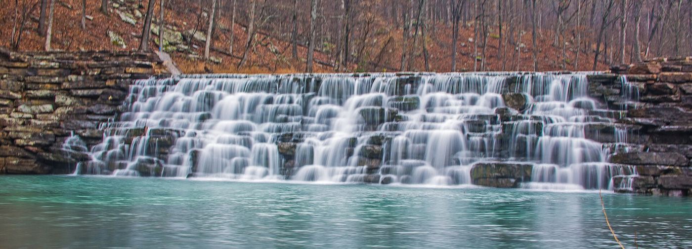
- Location
- Washington County, Arkansas
- Nearest town
- 10.5 miles south of West Fork
- Type
- State Park
About Devil's Den State Park
An 8-acre lake built by the Civilian Conservation Corps sits at the center of this 2,200-acre park in the Lee Creek Valley, part of the Boston Mountains within the Ozarks. The CCC also constructed the park's original amenities starting in 1933, and trails now cover hiking, mountain biking and horseback riding. Coral and crinoid fossils can be found along the banks and bed of Lee Creek, and the grounds include picnic areas, a swimming pool, cabins, and camping ranging from modern sites to primitive.
Hours, fees, camping, reservations and closures are set by the park and change often. Check the official park site before you go.
Getting there
Devil's Den State Park is in Washington County, Arkansas, 10.5 miles south of West Fork. The Directions button takes you to the park's mapped location; the entrance may be elsewhere, so check the official site for the address to use.
State parks near Devil's Den State Park
Within 60 miles, closest first, straight-line. All 41 in Arkansas →
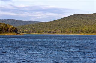 Lake Fort Smith State ParkState Park · Crawford County, AR9.2 miSE
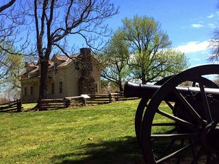 Prairie Grove Battlefield State ParkState Park · Washington County, AR14 miN
- Adair State ParkState Park · Adair County, OK21 miW
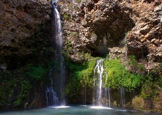 Natural Falls State ParkState Park · Delaware County, OK36 miNW
- Brushy Lake State ParkState Park · Sequoyah County, OK36 miSW
- Cherokee Landing State ParkState Park · Cherokee County, OK37 miW
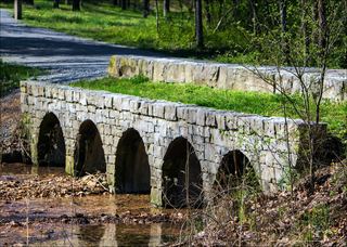 Hobbs State Park – Conservation AreaState Park · Benton County, AR39 miNE
- Tenkiller State ParkState Park · Sequoyah County, OK46 miW
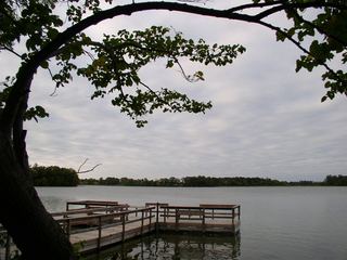 Greenleaf State ParkState Park · Muskogee County, OK53 miW
Towns near Devil's Den State Park
State parks near Fayetteville, State parks near Fort Smith, State parks near Siloam Springs, State parks near Rogers, State parks near Tahlequah
Facts from Wikidata, checked September 25, 2026. Distances are straight-line.