State Beach · California
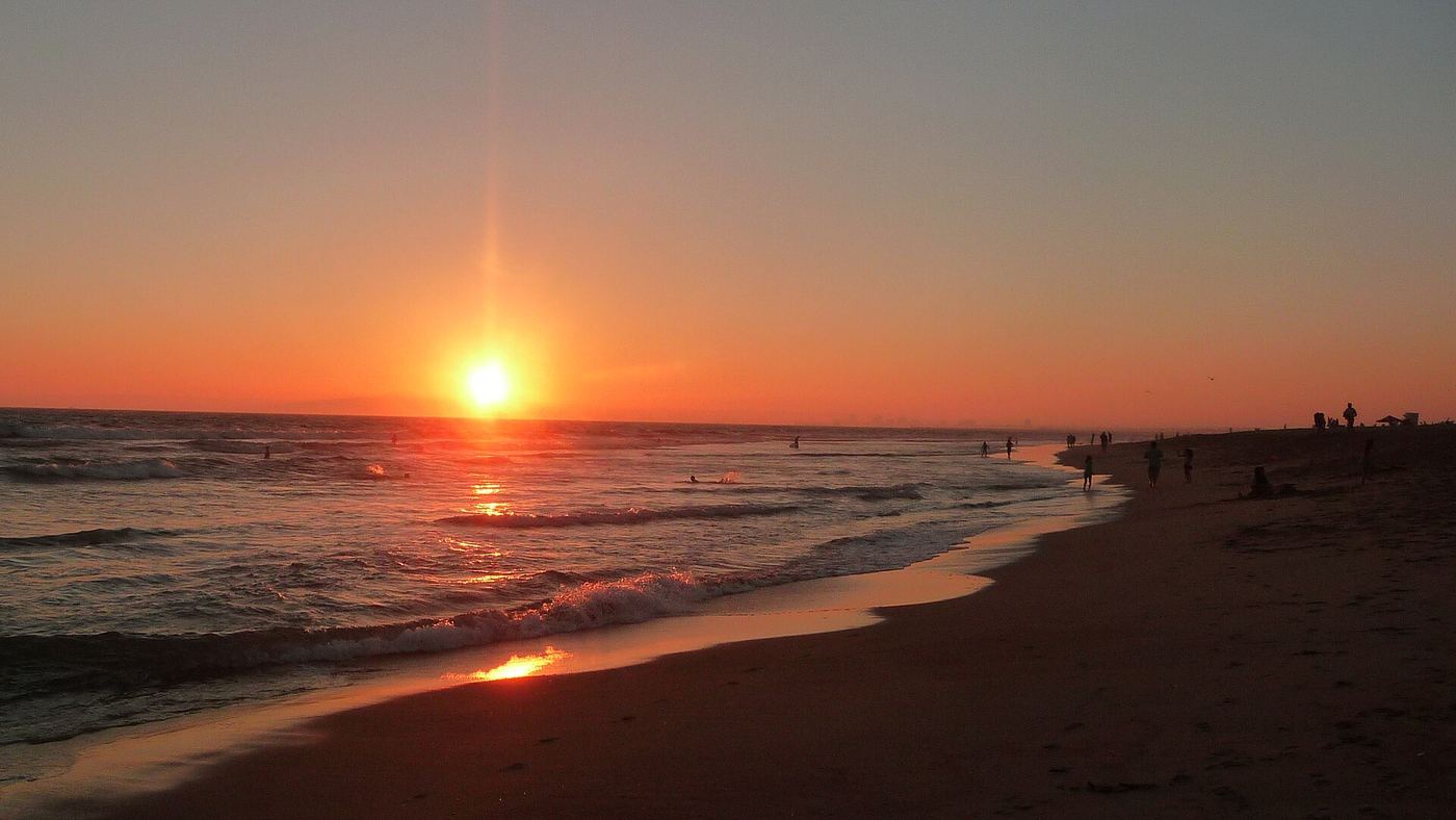
Bolsa Chica State Beach
- Location
- Orange County, California
- Nearest town
- 3.8 miles northwest of Huntington Beach
- Type
- State Beach
About Bolsa Chica State Beach
The shoreline runs three miles from Warner Avenue in Sunset Beach south to Seapoint Avenue, where Huntington City Beach picks up. A bicycle path runs the length of the beach and continues on through Huntington City Beach. Across Pacific Coast Highway from the sand lies the Bolsa Chica Ecological Reserve, known for birdwatching, giving visitors a wetland to pair with their time on the water.
Hours, fees, camping, reservations and closures are set by the park and change often. Check the official park site before you go.
Getting there
Bolsa Chica State Beach is in Orange County, California, 3.8 miles northwest of Huntington Beach. The Directions button takes you to the park's mapped location; the entrance may be elsewhere, so check the official site for the address to use.
State parks near Bolsa Chica State Beach
Within 60 miles, closest first, straight-line. All 213 in California →
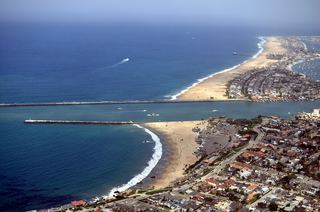 Corona del Mar State BeachState Beach · Orange County, CA12 miSE
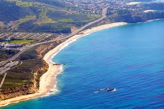 Crystal Cove State ParkState Park · Orange County, CA15 miSE
- Watts Towers of Simon Rodia State Historic ParkState Historic Site · Los Angeles County, CA20 miNW
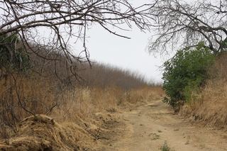 Chino Hills State ParkState Park · San Bernardino County, CA27 miNE
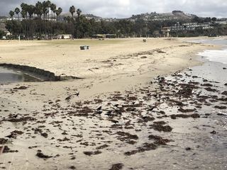 Doheny State BeachState Beach · Orange County, CA27 miSE
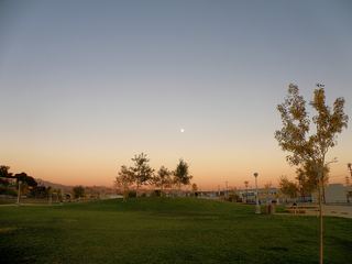 Los Angeles State Historic ParkState Historic Site · Los Angeles County, CA28 miN
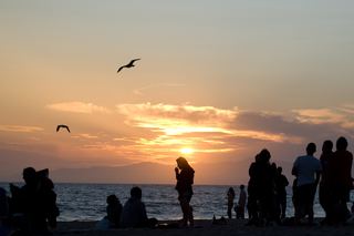 Dockweiler State BeachState Beach · Los Angeles County, CA28 miNW
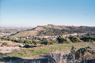 Kenneth Hahn State Recreation AreaState Recreation Area · Los Angeles County, CA28 miNW
 Rio de Los Angeles State ParkState Park · Los Angeles County, CA30 miN
Towns near Bolsa Chica State Beach
State parks near Long Beach, State parks near Anaheim, State parks near Mission Viejo, State parks near Manhattan Beach, State parks near West Covina, State parks near Los Angeles
Facts from Wikidata, checked September 25, 2026. Distances are straight-line.