State Park · California
Mount Tamalpais State Park
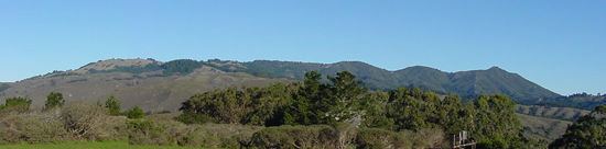
- Location
- Marin County, California
- Nearest town
- 2.9 miles southwest of Kentfield
- Type
- State Park
About Mount Tamalpais State Park
2,571 feet is the summit elevation of Mount Tamalpais, the peak that dominates this park's roughly 25,000 acres of redwood and oak forest. About 60 miles of hiking trails wind through the terrain, linking to a broader 200-mile trail network across neighboring public lands. Muir Woods National Monument sits entirely enclosed within the park's boundaries. In 2003, the park counted 564,000 visitors.
Hours, fees, camping, reservations and closures are set by the park and change often. Check the official park site before you go.
Getting there
Mount Tamalpais State Park is in Marin County, California, 2.9 miles southwest of Kentfield. The Directions button takes you to the park's mapped location; the entrance may be elsewhere, so check the official site for the address to use.
State parks near Mount Tamalpais State Park
Within 60 miles, closest first, straight-line. All 213 in California →
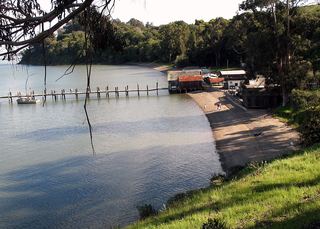 China Camp State ParkState Park · Marin County, CA7.9 miNE
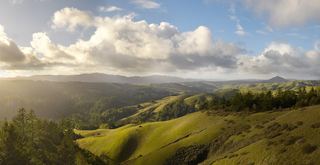 Samuel P. Taylor State ParkState Park · Marin County, CA9.7 miNW
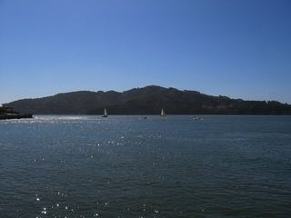 Angel Island State ParkState Park · San Francisco County, CA9.9 miSE
- James D. Phelan Beach State ParkState Park · San Francisco County, CA11 miSE
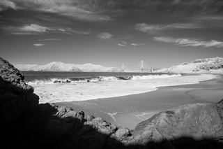 Baker Beach State ParkState Park · San Francisco County, CA11 miSE
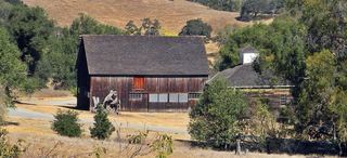 Olompali State Historic ParkState Historic Site · Marin County, CA16 miN
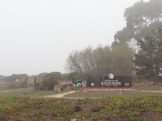 McLaughlin Eastshore State ParkState Park · Alameda County, CA16 miE
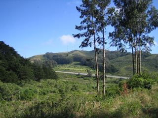 San Bruno Mountain State ParkState Park · San Mateo County, CA19 miSE
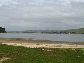 Tomales Bay State ParkState Park · Marin County, CA21 miNW
Towns near Mount Tamalpais State Park
State parks near San Rafael, State parks near San Francisco, State parks near Vallejo, State parks near Sonoma, State parks near San Mateo, State parks near Concord
Facts from Wikidata, checked September 25, 2026. Distances are straight-line.