State Beach · California
Refugio State Beach
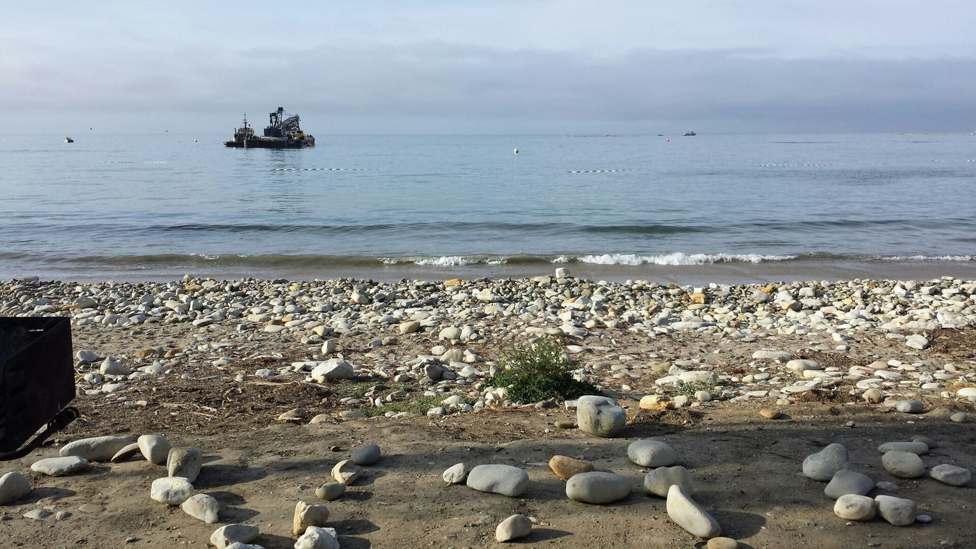
- Location
- Santa Barbara County, California
- Nearest town
- 9.9 miles south of Solvang
- Type
- State Beach
About Refugio State Beach
A stretch of California coastline sits protected within a chain of three state parks along the Gaviota Coast. The beach lies about 2.5 miles from El Capitan State Beach, giving it a place along a connected run of protected shoreline west of Santa Barbara. It offers coastal access to the Pacific for anyone visiting this section of the Gaviota Coast.
Hours, fees, camping, reservations and closures are set by the park and change often. Check the official park site before you go.
Getting there
Refugio State Beach is in Santa Barbara County, California, 9.9 miles south of Solvang. The Directions button takes you to the park's mapped location; the entrance may be elsewhere, so check the official site for the address to use.
State parks near Refugio State Beach
Within 60 miles, closest first, straight-line. All 213 in California →
 Gaviota State ParkState Park · Santa Barbara County, CA9.1 miW
 Chumash Painted Cave State Historic ParkState Historic Site · Santa Barbara County, CA17 miE
- El Presidio de Santa Barbara State Historic ParkState Historic Site · Santa Barbara County, CA22 miE
 La Purísima Mission State Historic ParkState Historic Site · Santa Barbara County, CA25 miNW
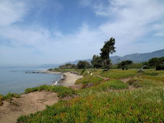 Carpinteria State BeachState Beach · Santa Barbara County, CA32 miE
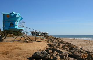 Emma Wood State BeachState Beach · Ventura County, CA44 miE
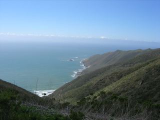 Point Sal State BeachState Beach · Santa Barbara County, CA45 miNW
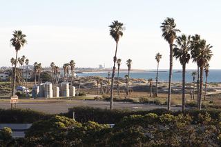 San Buenaventura State BeachState Beach · Ventura County, CA47 miE
 McGrath State BeachState Beach · Ventura County, CA49 miE
Towns near Refugio State Beach
State parks near Santa Barbara, State parks near Lompoc, State parks near Santa Maria
Facts from Wikidata, checked September 25, 2026. Distances are straight-line.