State Beach · California
Point Sal State Beach
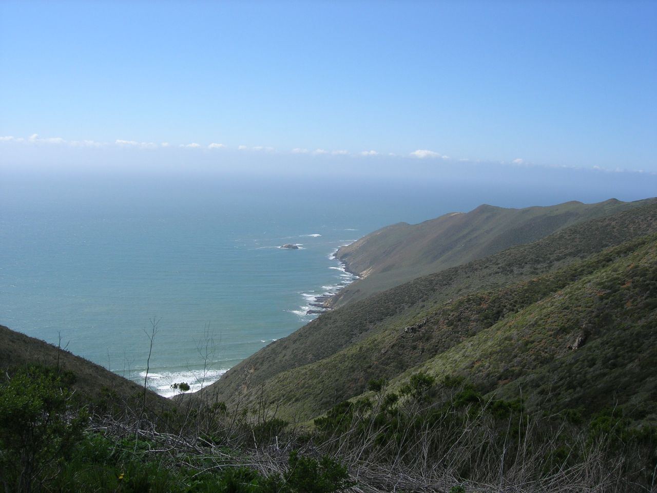
- Location
- Santa Barbara County, California
- Nearest town
- 6.5 miles southwest of Guadalupe
- Type
- State Beach
About Point Sal State Beach
The property spans about 80 acres with 1.5 miles of ocean frontage on the Pacific coast. The rocky headland here forms part of the Coast Range Ophiolite, one of the largest exposed ophiolite terranes anywhere in the world. Steep slopes and rocky shoreline along this stretch make it prone to landslides.
Hours, fees, camping, reservations and closures are set by the park and change often. Check the official park site before you go.
Getting there
Point Sal State Beach is in Santa Barbara County, California, 6.5 miles southwest of Guadalupe. The Directions button takes you to the park's mapped location; the entrance may be elsewhere, so check the official site for the address to use.
State parks near Point Sal State Beach
Within 60 miles, closest first, straight-line. All 213 in California →
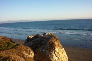 Pismo State BeachState Beach · San Luis Obispo County, CA14 miN
- Avila State BeachState Beach · San Luis Obispo County, CA20 miN
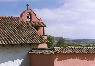 La Purísima Mission State Historic ParkState Historic Site · Santa Barbara County, CA20 miSE
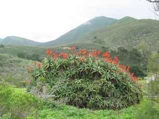 Montaña de Oro State ParkState Park · San Luis Obispo County, CA28 miNW
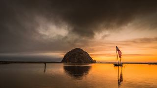 Morro Bay State ParkState Park · San Luis Obispo County, CA32 miN
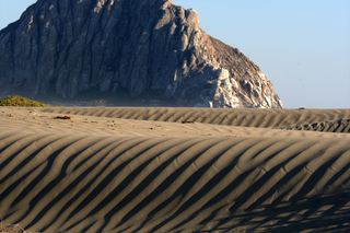 Morro Strand State BeachState Beach · San Luis Obispo County, CA35 miN
- Atascadero State BeachState Beach · San Luis Obispo County, CA36 miN
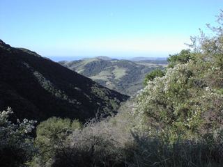 Gaviota State ParkState Park · Santa Barbara County, CA37 miSE
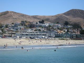 Cayucos State BeachState Beach · San Luis Obispo County, CA41 miN
Towns near Point Sal State Beach
State parks near Santa Maria, State parks near Lompoc, State parks near San Luis Obispo
Facts from Wikidata, checked September 25, 2026. Distances are straight-line.