State Park · Connecticut
Mount Riga State Park
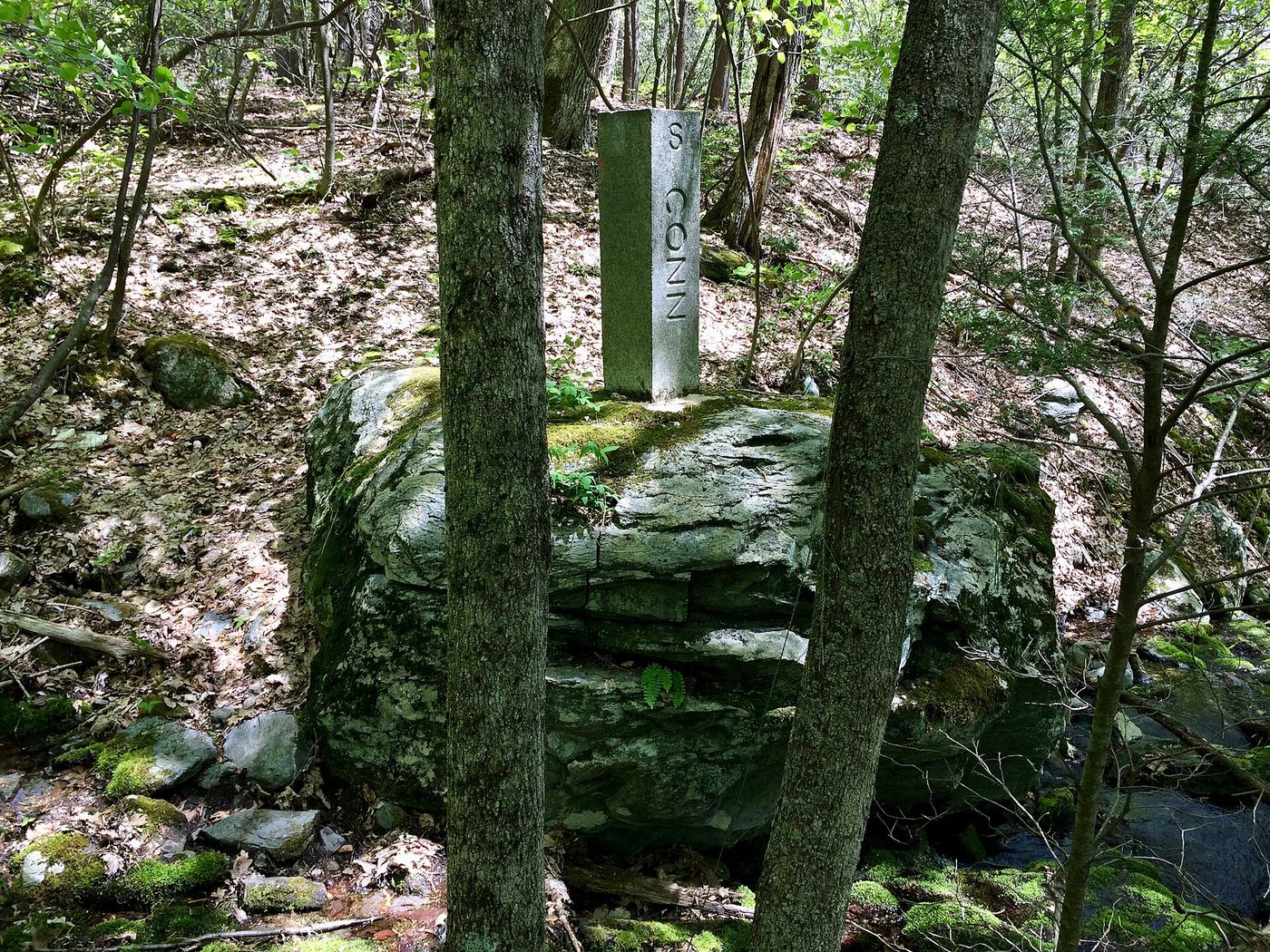
- Location
- Litchfield County, Connecticut
- Nearest town
- 5.4 miles west of Canaan
- Type
- State Park
About Mount Riga State Park
The Undermountain Trail begins at a parking lot on Connecticut Route 41 and links to the northernmost stretch of the Appalachian Trail within the state. Beyond that trailhead, the land remains undeveloped, with hiking and bow hunting as the activities available. It sits in the town of Salisbury and falls under management of the Connecticut Department of Energy and Environmental Protection.
Hours, fees, camping, reservations and closures are set by the park and change often. Check the official park site before you go.
Getting there
Mount Riga State Park is in Litchfield County, Connecticut, 5.4 miles west of Canaan. The Directions button takes you to the park's mapped location; the entrance may be elsewhere, so check the official site for the address to use.
State parks near Mount Riga State Park
Within 60 miles, closest first, straight-line. All 94 in Connecticut →
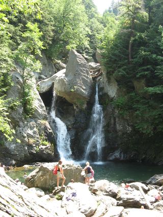 Bash Bish Falls State ParkState Park · Berkshire County, MA6.4 miNW
- Taconic State ParkState Park · Columbia County, NY7.3 miNW
 Housatonic Meadows State ParkState Park · Litchfield County, CT13 miS
 Dennis Hill State ParkState Park · Litchfield County, CT13 miSE
- Lake Taghkanic State ParkState Park · Columbia County, NY15 miW
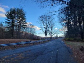 John A. Minetto State ParkState Park · Litchfield County, CT18 miSE
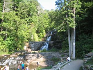 Kent Falls State ParkState Park · Litchfield County, CT18 miS
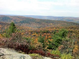 Macedonia Brook State ParkState Park · Litchfield County, CT18 miS
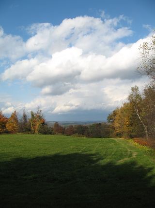 Platt Hill State ParkState Park · Litchfield County, CT19 miSE
Towns near Mount Riga State Park
State parks near West Torrington, State parks near Kingston, State parks near Pittsfield, State parks near Poughkeepsie, State parks near Waterbury, State parks near Hartford
Facts from Wikidata, checked September 25, 2026. Distances are straight-line.