State Park · Massachusetts
Bash Bish Falls State Park
- Location
- Berkshire County, Massachusetts
- Nearest town
- 7.2 miles west of Sheffield
- Type
- State Park
About Bash Bish Falls State Park
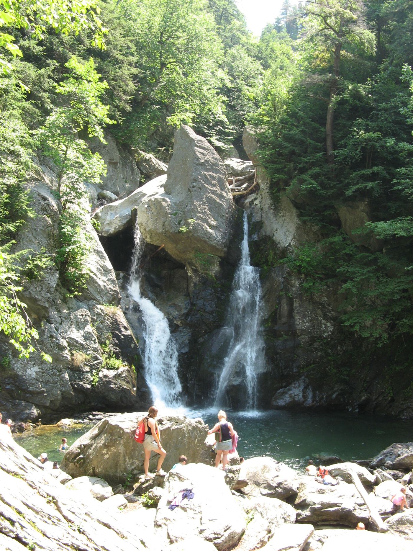
Massachusetts' tallest single-drop waterfall cuts through this land, giving the park its name. The Department of Conservation and Recreation oversees the grounds, which sit among a cluster of scenic preserves in the state's far southwestern corner. Bordering land includes the 4,000-acre Mount Washington State Forest and stretches into New York's 5,000-acre Taconic State Park.
Hours, fees, camping, reservations and closures are set by the park and change often. Check the official park site before you go.
Getting there
Bash Bish Falls State Park is in Berkshire County, Massachusetts, 7.2 miles west of Sheffield. The Directions button takes you to the park's mapped location; the entrance may be elsewhere, so check the official site for the address to use.
State parks near Bash Bish Falls State Park
Within 60 miles, closest first, straight-line. All 49 in Massachusetts →
- Taconic State ParkState Park · Columbia County, NY1.2 miW
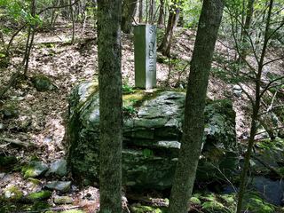 Mount Riga State ParkState Park · Litchfield County, CT6.4 miSE
- Lake Taghkanic State ParkState Park · Columbia County, NY11 miW
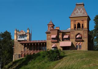 Olana State Historic SiteState Historic Site · Columbia County, NY18 miW
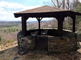 Dennis Hill State ParkState Park · Litchfield County, CT19 miSE
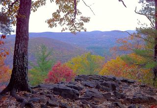 Housatonic Meadows State ParkState Park · Litchfield County, CT20 miS
- Hudson River Islands State ParkState Park · Columbia County, NY20 miNW
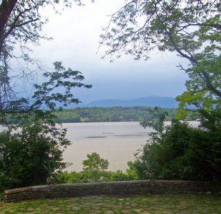 Clermont State Historic SiteState Historic Site · Columbia County, NY22 miW
- Bristol Beach State ParkState Park · Ulster County, NY22 miW
Towns near Bash Bish Falls State Park
State parks near Pittsfield, State parks near West Torrington, State parks near Kingston, State parks near Poughkeepsie, State parks near Albany, State parks near Waterbury
Facts from Wikidata, checked September 25, 2026. Distances are straight-line.