State Park · Georgia
Fort Yargo State Park
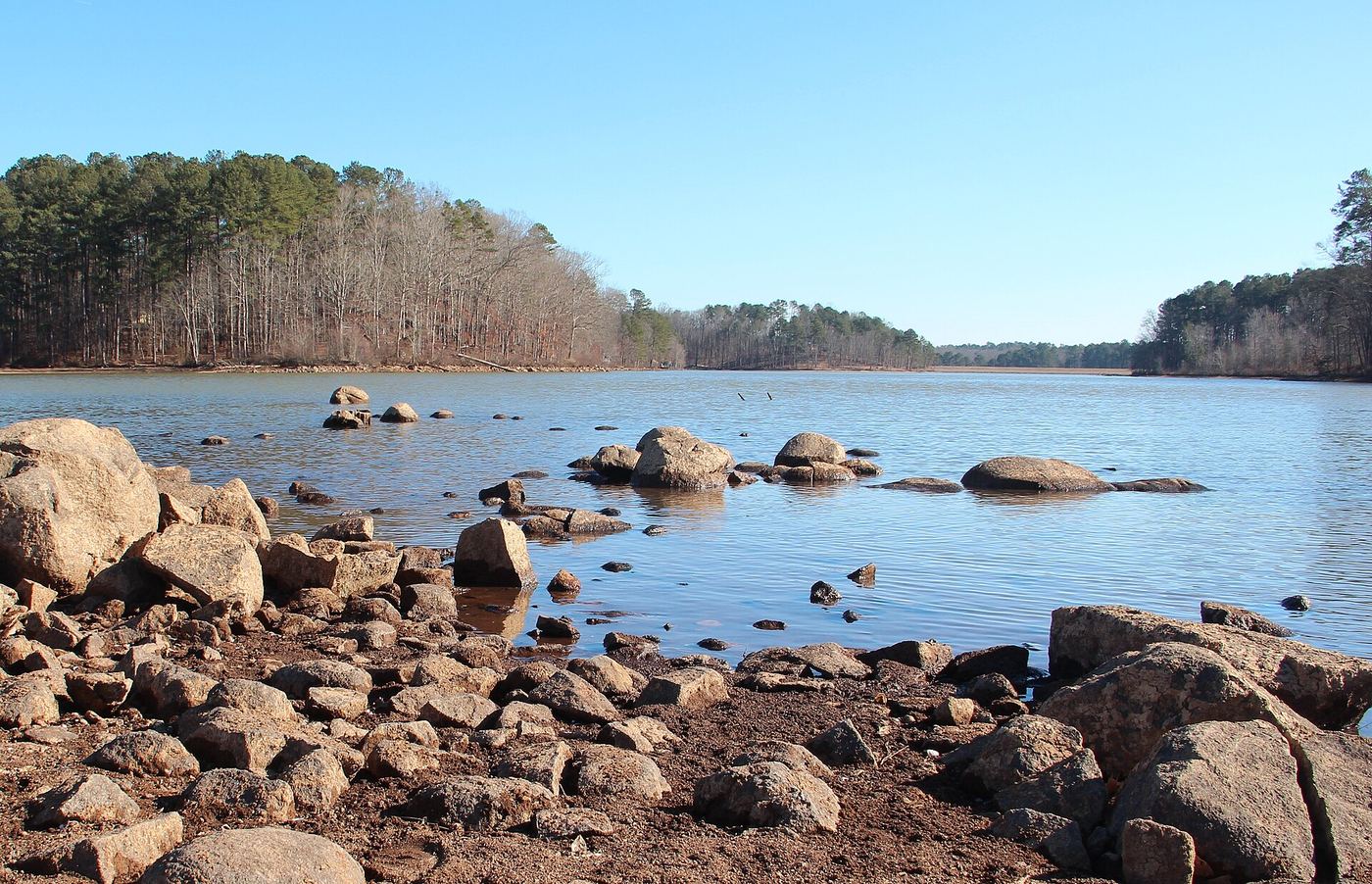
- Location
- Barrow County, Georgia
- Nearest town
- 1.8 miles south of Winder
- Type
- State Park
About Fort Yargo State Park
A log fort built in 1792 by settlers as protection against the Creek and Cherokee still stands here, giving the park its name. The surrounding 1,816 acres hold a 260-acre lake with a public beach for swimming, along with trails for hiking and mountain biking, a disc golf course, and a miniature golf course. Boating, fishing, and picnicking are also available around the lake.
Hours, fees, camping, reservations and closures are set by the park and change often. Check the official park site before you go.
Getting there
Fort Yargo State Park is in Barrow County, Georgia, 1.8 miles south of Winder. The Directions button takes you to the park's mapped location; the entrance may be elsewhere, so check the official site for the address to use.
State parks near Fort Yargo State Park
Within 60 miles, closest first, straight-line. All 48 in Georgia →
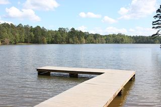 Hard Labor Creek State ParkState Park · Morgan County, GA23 miS
- Don Carter State ParkState Park · Hall County, GA29 miN
- Panola Mountain State ParkState Park · Rockdale County, GA35 miSW
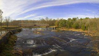 Watson Mill Bridge State ParkState Park · Oglethorpe County, GA38 miE
- Victoria Bryant State ParkState Park · Franklin County, GA40 miNE
- Hardman Farm State Historic SiteState Historic Site · White County, GA50 miN
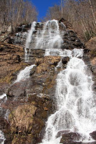 Amicalola Falls State ParkState Park · Dawson County, GA51 miNW
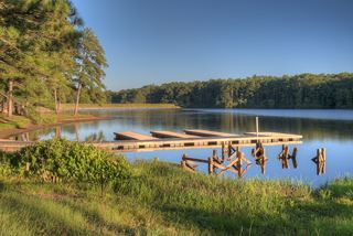 Indian Springs State ParkState Park · Butts County, GA51 miS
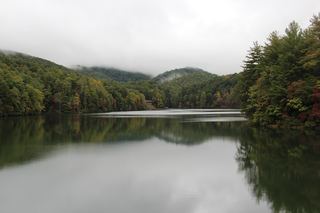 Unicoi State ParkState Park · White County, GA52 miN
Towns near Fort Yargo State Park
State parks near Winder, State parks near Lawrenceville, State parks near Athens, State parks near Gainesville, State parks near Conyers, State parks near Roswell
Facts from Wikidata, checked September 25, 2026. Distances are straight-line.