State Park · Georgia
Amicalola Falls State Park
- Location
- Dawson County, Georgia
- Nearest town
- 12.2 miles northwest of Dawsonville
- Type
- State Park
About Amicalola Falls State Park
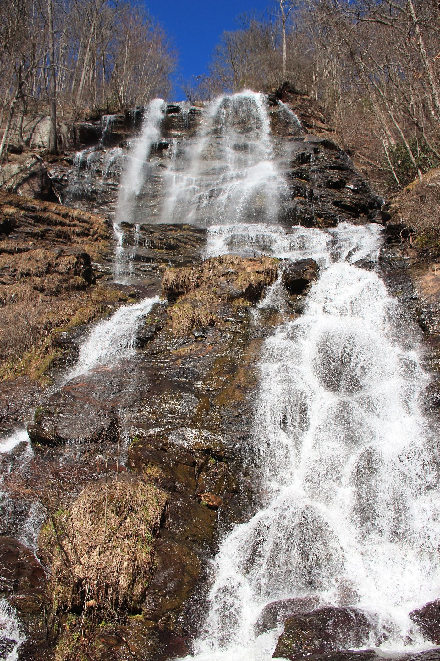
729 feet of tumbling water make up Amicalola Falls, the tallest waterfall in Georgia and one of the state's Seven Natural Wonders, though a separate measurement breaks the drop into a 429-foot main cascade followed by a long sloping run. The park's name comes from a Cherokee word for tumbling waters. An 8-mile trail passes the falls and continues to Springer Mountain, the southern starting point of the Appalachian Trail, and the grounds cover 829 acres with a lodge, cabins, a shelter for long-distance hikers, and a campground.
Hours, fees, camping, reservations and closures are set by the park and change often. Check the official park site before you go.
Getting there
Amicalola Falls State Park is in Dawson County, Georgia, 12.2 miles northwest of Dawsonville. The Directions button takes you to the park's mapped location; the entrance may be elsewhere, so check the official site for the address to use.
State parks near Amicalola Falls State Park
Within 60 miles, closest first, straight-line. All 48 in Georgia →
 Vogel State ParkState Park · Union County, GA23 miNE
 Fort Mountain State ParkState Park · Murray County, GA30 miNW
- Don Carter State ParkState Park · Hall County, GA31 miSE
 Unicoi State ParkState Park · White County, GA31 miE
- Hardman Farm State Historic SiteState Historic Site · White County, GA31 miE
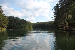 Red Top Mountain State ParkState Park · Bartow County, GA39 miSW
- Moccasin Creek State ParkState Park · Rabun County, GA42 miNE
- Hiwassee/Ocoee Scenic River State ParkState Park · Polk County, TN48 miN
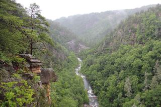 Tallulah Gorge State ParkState Park · Rabun County, GA50 miE
Towns near Amicalola Falls State Park
State parks near Canton, State parks near Gainesville, State parks near Roswell, State parks near Calhoun, State parks near Acworth, State parks near Dalton
Facts from Wikidata, checked September 25, 2026. Distances are straight-line.