State Park · Georgia
High Falls State Park
- Location
- Monroe County, Georgia
- Nearest town
- 7.3 miles southwest of Indian Springs
- Type
- State Park
About High Falls State Park
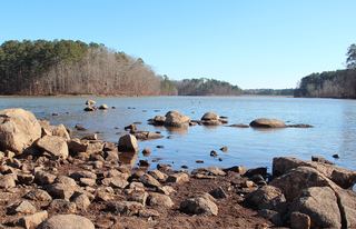
The Towaliga River drops over the largest waterfall in middle Georgia here, feeding a 650-acre lake within the park's 1,050 acres. The grounds once held a thriving 19th-century industrial settlement that emptied into a ghost town after the railroad bypassed it, leaving the falls and lake as the lasting features of the site.
Hours, fees, camping, reservations and closures are set by the park and change often. Check the official park site before you go.
Getting there
High Falls State Park is in Monroe County, Georgia, 7.3 miles southwest of Indian Springs. The Directions button takes you to the park's mapped location; the entrance may be elsewhere, so check the official site for the address to use.
State parks near High Falls State Park
Within 60 miles, closest first, straight-line. All 48 in Georgia →
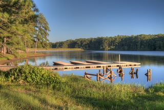 Indian Springs State ParkState Park · Butts County, GA7.4 miNE
- Dames Ferry Campground State ParkState Park · Monroe County, GA18 miSE
- Panola Mountain State ParkState Park · Rockdale County, GA32 miN
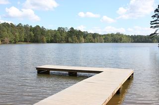 Hard Labor Creek State ParkState Park · Morgan County, GA41 miNE
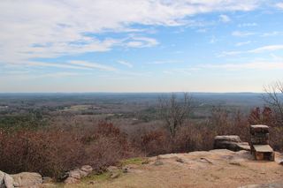 F. D. Roosevelt State ParkState Park · Harris County, GA52 miSW
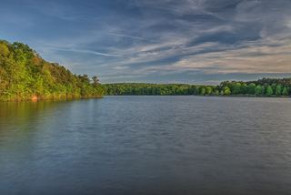 Sweetwater Creek State ParkState Park · Douglas County, GA53 miNW
 Fort Yargo State ParkState Park · Barrow County, GA57 miN
- Chattahoochee Bend State ParkState Park · Coweta County, GA59 miW
Towns near High Falls State Park
State parks near Griffin, State parks near Stockbridge, State parks near Macon, State parks near Conyers, State parks near Atlanta, State parks near Warner Robins
Facts from Wikidata, checked September 25, 2026. Distances are straight-line.