State Park · Maine
Fort Point State Park
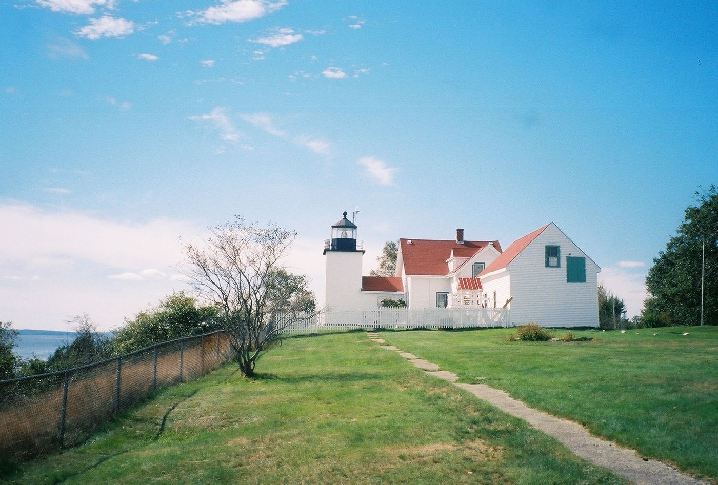
- Location
- Waldo County, Maine
- Nearest town
- 2.4 miles southeast of Stockton Springs
- Type
- State Park
About Fort Point State Park
Penobscot Bay stretches out from the tip of Cape Jellison, where 156 acres of shoreline hold both a working lighthouse and the earthworks of a fort dating back to the state's colonial era. Fort Point Light still stands on the grounds alongside the remains of Fort Pownall. Trails lead visitors along the water for hiking, and the park allows picnicking and fishing.
Hours, fees, camping, reservations and closures are set by the park and change often. Check the official park site before you go.
Getting there
Fort Point State Park is in Waldo County, Maine, 2.4 miles southeast of Stockton Springs. The Directions button takes you to the park's mapped location; the entrance may be elsewhere, so check the official site for the address to use.
State parks near Fort Point State Park
Within 60 miles, closest first, straight-line. All 31 in Maine →
- Moose Point State ParkState Park · Waldo County, ME6.6 miW
- Holbrook Island Sanctuary State ParkState Park · Hancock County, ME7.8 miS
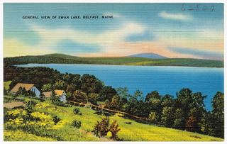 Swan Lake State ParkState Park · Waldo County, ME10 miNW
- Warren Island State ParkState Park · Waldo County, ME15 miSW
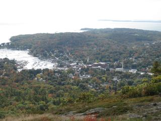 Camden Hills State ParkState Park · Waldo County, ME19 miSW
 Lamoine State ParkState Park · Hancock County, ME26 miE
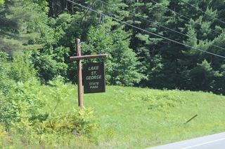 Lake St. George State ParkState Park · Waldo County, ME27 miW
- Birch Point State ParkState Park · Knox County, ME32 miSW
- Damariscotta Lake State ParkState Park · Lincoln County, ME36 miSW
Towns near Fort Point State Park
State parks near Bangor, State parks near Waterville, State parks near Augusta
Facts from Wikidata, checked September 25, 2026. Distances are straight-line.