State Park · Massachusetts
Maudslay State Park
- Location
- Essex County, Massachusetts
- Nearest town
- 2.5 miles west of Newburyport
- Type
- State Park
About Maudslay State Park
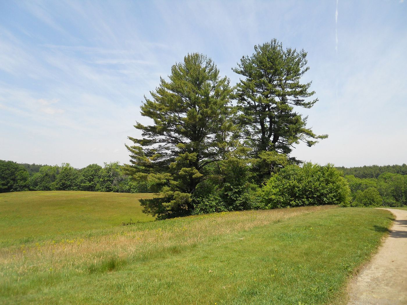
Rolling meadows and tall pine stands lead down to the Merrimack River, which forms the property's edge, while the Artichoke River marks the boundary separating Newburyport from West Newbury. Ornamental plantings including azaleas and rhododendrons remain from the site's landscaped past, alongside one of the largest wild growths of mountain laurel found anywhere in Massachusetts. The grounds are overseen by the state's Department of Conservation and Recreation.
Hours, fees, camping, reservations and closures are set by the park and change often. Check the official park site before you go.
Getting there
Maudslay State Park is in Essex County, Massachusetts, 2.5 miles west of Newburyport. The Directions button takes you to the park's mapped location; the entrance may be elsewhere, so check the official site for the address to use.
State parks near Maudslay State Park
Within 60 miles, closest first, straight-line. All 49 in Massachusetts →
 Kingston State ParkState Park · Rockingham County, NH10.0 miNW
 Bradley Palmer State ParkState Park · Essex County, MA13 miS
 Lawrence Heritage State ParkState Park · Essex County, MA14 miSW
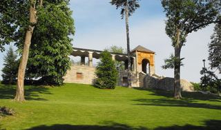 Greycourt State ParkState Park · Essex County, MA14 miSW
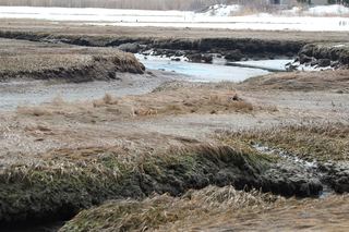 Rye Harbor State ParkState Park · Rockingham County, NH15 miNE
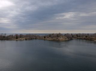 Halibut Point State ParkState Park · Essex County, MA17 miSE
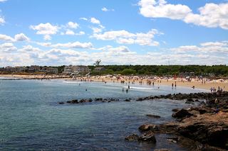 Wallis Sands State ParkState Park · Rockingham County, NH17 miNE
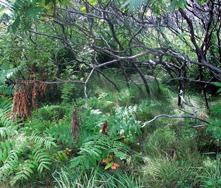 Odiorne Point State ParkState Park · Rockingham County, NH19 miNE
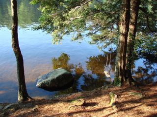 Pawtuckaway State ParkState Park · Rockingham County, NH23 miNW
Towns near Maudslay State Park
State parks near Haverhill, State parks near Beverly, State parks near Lowell, State parks near Dover, State parks near Manchester, State parks near Boston
Facts from Wikidata, checked September 25, 2026. Distances are straight-line.