State Park · Massachusetts
Mount Holyoke Range State Park
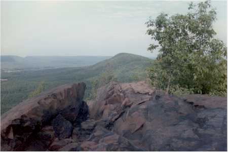
- Location
- Hampshire County, Massachusetts
- Nearest town
- 2.3 miles south of South Amherst
- Type
- State Park
About Mount Holyoke Range State Park
The eastern half of the Holyoke Range makes up this park, a stretch of ridgeline in the Pioneer Valley set aside for public recreation and managed by the Massachusetts Department of Conservation and Recreation. It borders J. A. Skinner State Park, which covers the range's western half, so the two form a continuous protected ridge across the valley. The land itself is state-owned and kept open for public use along this section of the range.
Hours, fees, camping, reservations and closures are set by the park and change often. Check the official park site before you go.
Getting there
Mount Holyoke Range State Park is in Hampshire County, Massachusetts, 2.3 miles south of South Amherst. The Directions button takes you to the park's mapped location; the entrance may be elsewhere, so check the official site for the address to use.
State parks near Mount Holyoke Range State Park
Within 60 miles, closest first, straight-line. All 49 in Massachusetts →
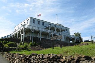 J. A. Skinner State ParkState Park · Hampshire County, MA3.9 miW
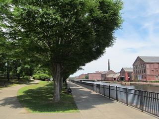 Holyoke Heritage State ParkState Park · Hampden County, MA8.6 miSW
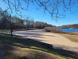 Chicopee Memorial State ParkState Park · Hampden County, MA8.9 miS
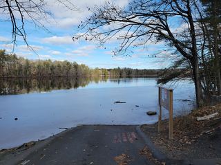 Red Bridge State ParkState Park · Hampden County, MA10 miSE
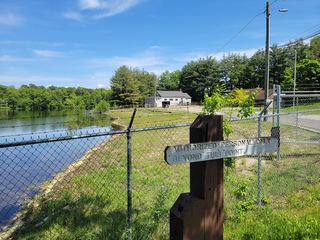 Lake Lorraine State ParkState Park · Hampden County, MA11 miS
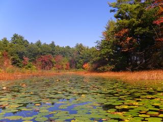 Hampton Ponds State ParkState Park · Hampden County, MA13 miSW
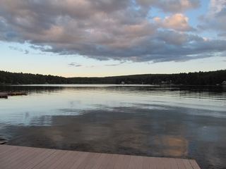 Lake Wyola State ParkState Park · Franklin County, MA14 miN
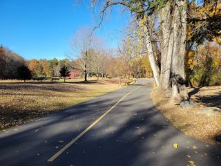 Robinson State ParkState Park · Hampden County, MA17 miSW
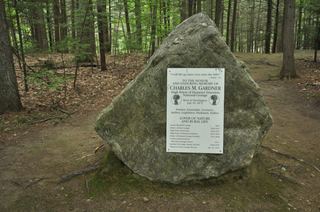 C. M. Gardner State ParkState Park · Hampshire County, MA18 miW
Towns near Mount Holyoke Range State Park
State parks near Amherst, State parks near Springfield, State parks near Greenfield, State parks near Southbridge, State parks near Worcester, State parks near Hartford
Facts from Wikidata, checked September 25, 2026. Distances are straight-line.