State Park · Massachusetts
Robinson State Park
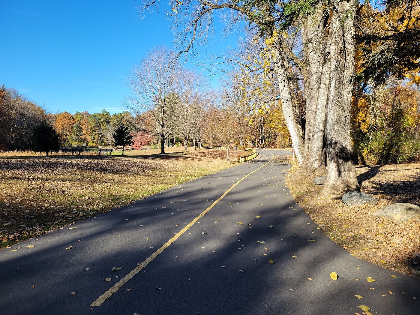
- Location
- Hampden County, Massachusetts
- Nearest town
- 2.8 miles west of West Springfield
- Type
- State Park
About Robinson State Park
The Westfield River forms the northern edge of this narrow, 1,025-acre park, which stretches mostly through Agawam with a small section reaching into Westfield. The park follows the river's winding course rather than surrounding a single point of interest. It is managed by the Massachusetts Department of Conservation and Recreation.
Hours, fees, camping, reservations and closures are set by the park and change often. Check the official park site before you go.
Getting there
Robinson State Park is in Hampden County, Massachusetts, 2.8 miles west of West Springfield. The Directions button takes you to the park's mapped location; the entrance may be elsewhere, so check the official site for the address to use.
State parks near Robinson State Park
Within 60 miles, closest first, straight-line. All 49 in Massachusetts →
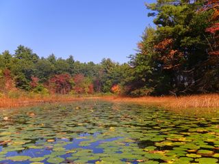 Hampton Ponds State ParkState Park · Hampden County, MA6.1 miN
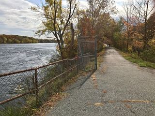 Windsor Locks Canal State Park TrailState Park · Hartford County, CT8.0 miSE
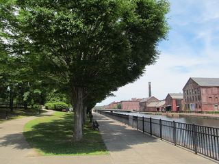 Holyoke Heritage State ParkState Park · Hampden County, MA8.5 miNE
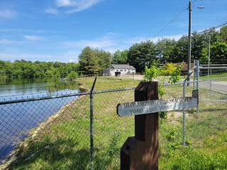 Lake Lorraine State ParkState Park · Hampden County, MA8.8 miNE
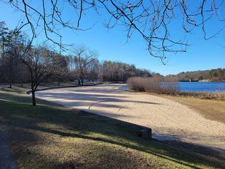 Chicopee Memorial State ParkState Park · Hampden County, MA9.1 miNE
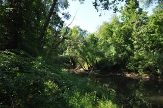 Scantic River State ParkState Park · Hartford County, CT10 miSE
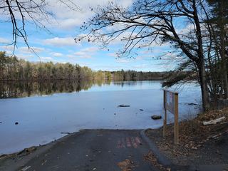 Red Bridge State ParkState Park · Hampden County, MA15 miNE
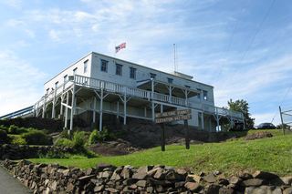 J. A. Skinner State ParkState Park · Hampshire County, MA15 miN
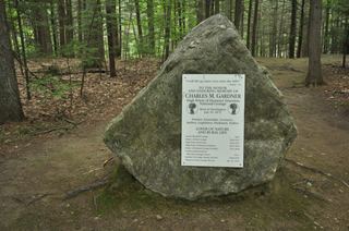 C. M. Gardner State ParkState Park · Hampshire County, MA16 miNW
Towns near Robinson State Park
State parks near Springfield, State parks near Amherst, State parks near Hartford, State parks near West Torrington, State parks near Mansfield City, State parks near Southbridge
Facts from Wikidata, checked September 25, 2026. Distances are straight-line.