State Park · Connecticut
Windsor Locks Canal State Park Trail
- Location
- Hartford County, Connecticut
- Nearest town
- 0.8 miles southwest of Thompsonville
- Type
- State Park
About Windsor Locks Canal State Park Trail
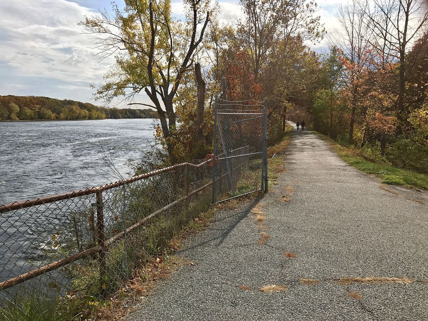
A paved path runs 4.5 miles along the Connecticut River between Suffield and Windsor Locks, laid over the old dirt towpath of the historic Enfield Falls Canal. The surface follows the river's edge for the full stretch, giving access for fishing, hiking, and biking along its length. The route traces the canal's original alignment, keeping the towpath's straight, flat course intact under the new pavement.
Hours, fees, camping, reservations and closures are set by the park and change often. Check the official park site before you go.
Getting there
Windsor Locks Canal State Park Trail is in Hartford County, Connecticut, 0.8 miles southwest of Thompsonville. The Directions button takes you to the park's mapped location; the entrance may be elsewhere, so check the official site for the address to use.
State parks near Windsor Locks Canal State Park Trail
Within 60 miles, closest first, straight-line. All 94 in Connecticut →
 Scantic River State ParkState Park · Hartford County, CT4.0 miE
 Robinson State ParkState Park · Hampden County, MA8.0 miNW
 Hop River State Park TrailState Park · Tolland County, CT11 miE
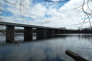 Windsor Meadows State ParkState Park · Hartford County, CT12 miS
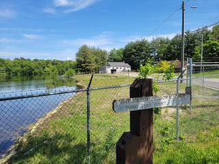 Lake Lorraine State ParkState Park · Hampden County, MA12 miNE
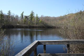 Penwood State ParkState Park · Hartford County, CT13 miSW
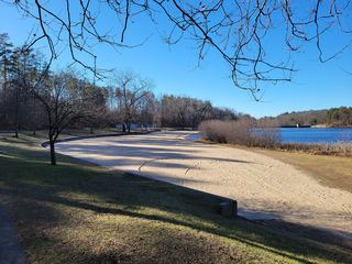 Chicopee Memorial State ParkState Park · Hampden County, MA14 miN
 Hampton Ponds State ParkState Park · Hampden County, MA14 miN
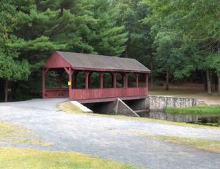 Stratton Brook State ParkState Park · Hartford County, CT15 miSW
Towns near Windsor Locks Canal State Park Trail
State parks near Springfield, State parks near Hartford, State parks near Mansfield City, State parks near Amherst, State parks near Southbridge, State parks near West Torrington
Facts from Wikidata, checked September 25, 2026. Distances are straight-line.