State Park · Massachusetts
Whitehall State Park
- Location
- Middlesex County, Massachusetts
- Nearest town
- 3.1 miles west of Hopkinton
- Type
- State Park
About Whitehall State Park
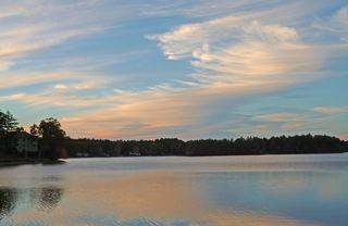
A reservoir once supplying water to Greater Boston was retired from that use and turned over as parkland, forming the basis of what visitors find here today. The park centers on the former Whitehall Reservoir, where fishing and boating are available on the water and hiking trails run through the surrounding land. It is managed by the Massachusetts Department of Conservation and Recreation.
Hours, fees, camping, reservations and closures are set by the park and change often. Check the official park site before you go.
Getting there
Whitehall State Park is in Middlesex County, Massachusetts, 3.1 miles west of Hopkinton. The Directions button takes you to the park's mapped location; the entrance may be elsewhere, so check the official site for the address to use.
State parks near Whitehall State Park
Within 60 miles, closest first, straight-line. All 49 in Massachusetts →
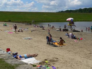 Hopkinton State ParkState Park · Middlesex County, MA3.2 miNE
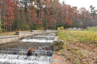 Ashland State ParkState Park · Middlesex County, MA6.0 miE
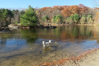 Callahan State ParkState Park · Middlesex County, MA8.6 miNE
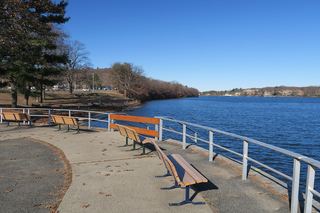 Quinsigamond State ParkState Park · Worcester County, MA9.0 miW
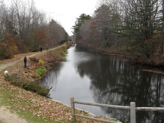 Blackstone River and Canal Heritage State ParkState Park · Worcester County, MA9.6 miS
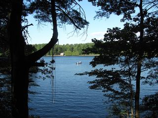 Cochituate State ParkState Park · Middlesex County, MA12 miNE
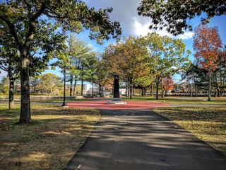 World War II Veterans Memorial State ParkState Park · Providence County, RI16 miS
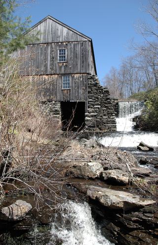 Moore State ParkState Park · Worcester County, MA20 miW
 Quaddick State ParkState Park · Windham County, CT22 miSW
Towns near Whitehall State Park
State parks near Framingham, State parks near Uxbridge, State parks near Worcester, State parks near Wrentham, State parks near Leominster, State parks near Southbridge
Facts from Wikidata, checked September 25, 2026. Distances are straight-line.