State Park · Minnesota
Crow Wing State Park
- Location
- Crow Wing County, Minnesota
- Nearest town
- 5.4 miles southwest of Baxter
- Type
- State Park
About Crow Wing State Park
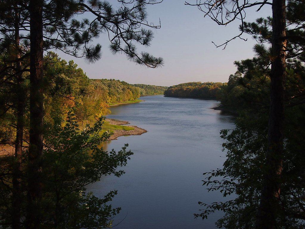
The Mississippi and Crow Wing Rivers meet within the park's boundaries, at the site of Old Crow Wing, once one of Minnesota's most populous towns during the 1850s and 1860s. The entire park was listed on the National Register of Historic Places in 1970, and a stretch of the Red River Trails that once ran through the old townsite carries a separate listing on that same register.
Hours, fees, camping, reservations and closures are set by the park and change often. Check the official park site before you go.
Getting there
Crow Wing State Park is in Crow Wing County, Minnesota, 5.4 miles southwest of Baxter. The Directions button takes you to the park's mapped location; the entrance may be elsewhere, so check the official site for the address to use.
State parks near Crow Wing State Park
Within 60 miles, closest first, straight-line. All 73 in Minnesota →
 Charles A. Lindbergh State ParkState Park · Morrison County, MN22 miS
 Cuyuna Country State Recreation AreaState Recreation Area · Crow Wing County, MN23 miNE
 Mille Lacs Kathio State ParkState Park · Mille Lacs County, MN30 miE
 Father Hennepin State ParkState Park · Mille Lacs County, MN41 miE
 Lake Carlos State ParkState Park · Douglas County, MN52 miW
Towns near Crow Wing State Park
Facts from Wikidata, checked September 25, 2026. Distances are straight-line.