State Park · Minnesota
Gooseberry Falls State Park
- Location
- Lake County, Minnesota
- Nearest town
- 13 miles northeast of Two Harbors
- Type
- State Park
About Gooseberry Falls State Park
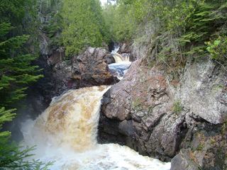
Civilian Conservation Corps-era protection brought this stretch of the Gooseberry River under state management along Lake Superior's North Shore. The park surrounds the river's mouth as it drops through Upper, Middle, and Lower Falls before reaching the lake. It sits in Silver Creek Township along Minnesota Highway 61, a route that runs directly through the park's setting on the shore.
Hours, fees, camping, reservations and closures are set by the park and change often. Check the official park site before you go.
Getting there
Gooseberry Falls State Park is in Lake County, Minnesota, 13 miles northeast of Two Harbors. The Directions button takes you to the park's mapped location; the entrance may be elsewhere, so check the official site for the address to use.
State parks near Gooseberry Falls State Park
Within 60 miles, closest first, straight-line. All 73 in Minnesota →
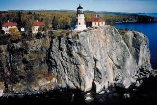 Split Rock Lighthouse State ParkState Park · Lake County, MN4.5 miNE
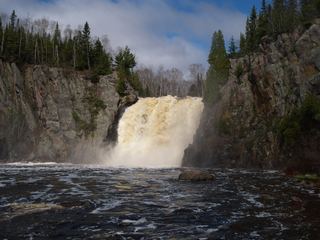 Tettegouche State ParkState Park · Lake County, MN18 miNE
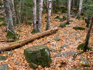 George H. Crosby Manitou State ParkState Park · Lake County, MN30 miNE
 Amnicon Falls State ParkState Park · Douglas County, WI42 miSW
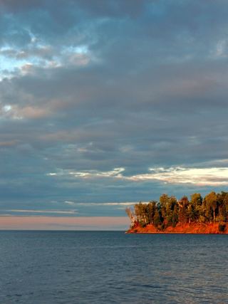 Big Bay State ParkState Park · Ashland County, WI44 miSE
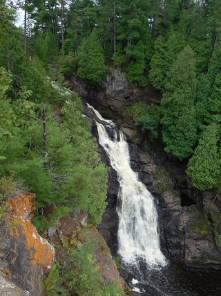 Pattison State ParkState Park · Douglas County, WI53 miSW
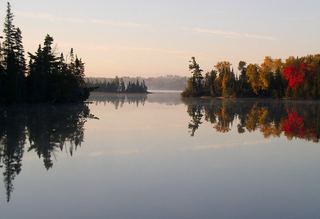 Bear Head Lake State ParkState Park · St. Louis County, MN53 miNW
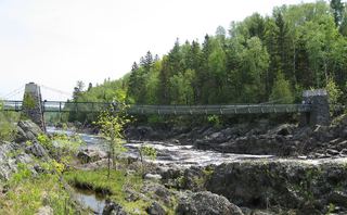 Jay Cooke State ParkState Park · Carlton County, MN53 miSW
 Cascade River State ParkState Park · Cook County, MN59 miNE
Towns near Gooseberry Falls State Park
Facts from Wikidata, checked September 25, 2026. Distances are straight-line.