State Park · Minnesota
Tettegouche State Park
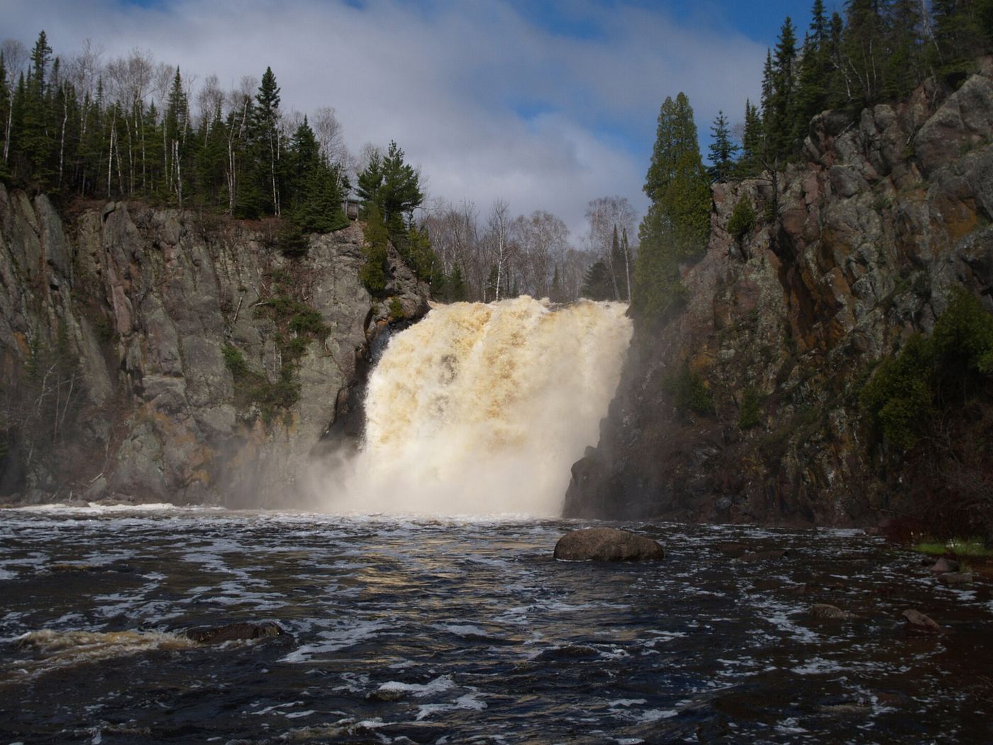
- Location
- Lake County, Minnesota
- Nearest town
- 3.9 miles northeast of Silver Bay
- Type
- State Park
About Tettegouche State Park
1979 marks the year Minnesota bought 3,400 acres from the Nature Conservancy, land that included Tettegouche Camp and was folded into what had been Baptism River State Park before it took its current name. The park sits along the north shore of Lake Superior on Highway 61, and its name traces back to the Tettegouche Club, a group of businessmen who owned the land from 1910 until selling it to the deLaittres family in 1971.
Hours, fees, camping, reservations and closures are set by the park and change often. Check the official park site before you go.
Getting there
Tettegouche State Park is in Lake County, Minnesota, 3.9 miles northeast of Silver Bay. The Directions button takes you to the park's mapped location; the entrance may be elsewhere, so check the official site for the address to use.
State parks near Tettegouche State Park
Within 60 miles, closest first, straight-line. All 73 in Minnesota →
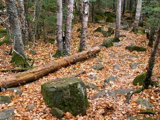 George H. Crosby Manitou State ParkState Park · Lake County, MN12 miN
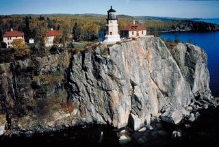 Split Rock Lighthouse State ParkState Park · Lake County, MN13 miSW
- Gooseberry Falls State ParkState Park · Lake County, MN18 miSW
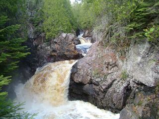 Cascade River State ParkState Park · Cook County, MN41 miNE
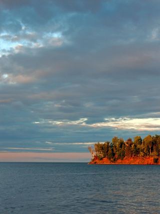 Big Bay State ParkState Park · Ashland County, WI45 miSE
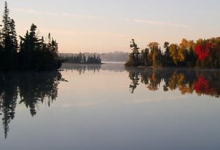 Bear Head Lake State ParkState Park · St. Louis County, MN52 miNW
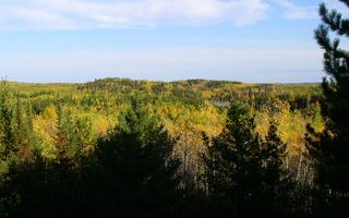 Lake Vermilion-Soudan Underground Mine State ParkState Park · St. Louis County, MN59 miNW
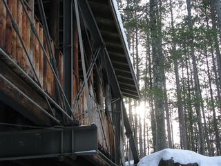 Amnicon Falls State ParkState Park · Douglas County, WI60 miSW
Facts from Wikidata, checked September 25, 2026. Distances are straight-line.