State Park · Wisconsin
Amnicon Falls State Park
- Location
- Douglas County, Wisconsin
- Nearest town
- 11.7 miles northwest of Lake Nebagamon
- Type
- State Park
About Amnicon Falls State Park
The Amnicon River drops over a series of waterfalls as it splits around a small island, crossed by a historic covered bridge. The park covers 828 acres of land in South Range, Wisconsin, southeast of Superior. Its main draw is watching the river's course change around the island and beneath the bridge structure.
Hours, fees, camping, reservations and closures are set by the park and change often. Check the official park site before you go.
Getting there
Amnicon Falls State Park is in Douglas County, Wisconsin, 11.7 miles northwest of Lake Nebagamon. The Directions button takes you to the park's mapped location; the entrance may be elsewhere, so check the official site for the address to use.
State parks near Amnicon Falls State Park
Within 60 miles, closest first, straight-line. All 48 in Wisconsin →
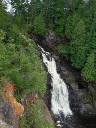 Pattison State ParkState Park · Douglas County, WI12 miSW
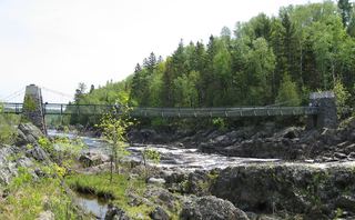 Jay Cooke State ParkState Park · Carlton County, MN21 miW
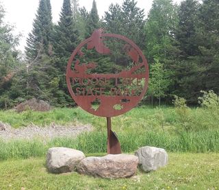 Moose Lake State ParkState Park · Carlton County, MN42 miW
- Moose Lake State Recreation AreaState Recreation Area · Carlton County, MN42 miW
- Gooseberry Falls State ParkState Park · Lake County, MN42 miNE
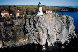 Split Rock Lighthouse State ParkState Park · Lake County, MN47 miNE
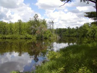 St. Croix State ParkState Park · Pine County, MN55 miSW
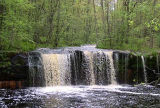 Banning State ParkState Park · Pine County, MN55 miSW
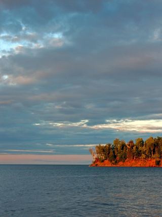 Big Bay State ParkState Park · Ashland County, WI60 miE
Towns near Amnicon Falls State Park
Facts from Wikidata, checked September 25, 2026. Distances are straight-line.