State Park · Montana
Milltown State Park
- Location
- Missoula County, Montana
- Nearest town
- 0.7 miles southwest of Bonner-West Riverside
- Type
- State Park
About Milltown State Park
The Clark Fork and Blackfoot rivers meet within this 635 acre park, a spot that once lay under a hydroelectric reservoir before the Milltown Dam was removed and the Superfund site behind it was cleaned up. The park opened in 2018 on that reclaimed ground and now offers hiking and biking trails, picnic areas, and overlooks where visitors can view the river confluence.
Hours, fees, camping, reservations and closures are set by the park and change often. Check the official park site before you go.
Getting there
Milltown State Park is in Missoula County, Montana, 0.7 miles southwest of Bonner-West Riverside. The Directions button takes you to the park's mapped location; the entrance may be elsewhere, so check the official site for the address to use.
State parks near Milltown State Park
Within 60 miles, closest first, straight-line. All 44 in Montana →
- Council Grove State ParkState Park · Missoula County, MT12 miW
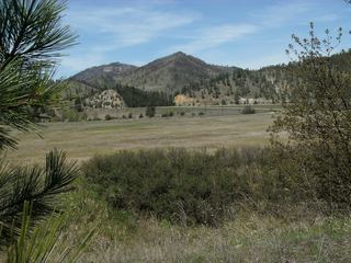 Beavertail Hill State ParkState Park · Granite County, MT18 miSE
- Frenchtown Pond State ParkState Park · Missoula County, MT20 miNW
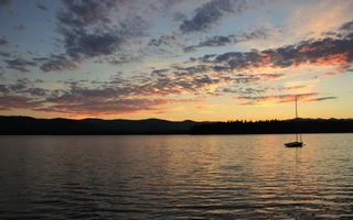 Placid Lake State ParkState Park · Missoula County, MT25 miNE
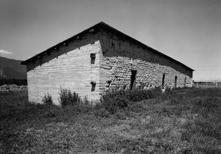 Fort Owen State ParkState Park · Ravalli County, MT26 miS
- Salmon Lake State ParkState Park · Missoula County, MT28 miNE
- Fish Creek State ParkState Park · Mineral County, MT39 miW
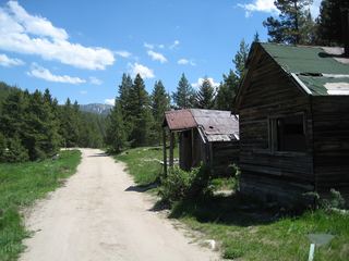 Granite State ParkState Park · Granite County, MT49 miSE
Towns near Milltown State Park
Facts from Wikidata, checked September 25, 2026. Distances are straight-line.