State Park · Montana
Placid Lake State Park
- Location
- Missoula County, Montana
- Nearest town
- 4.2 miles south of Seeley Lake
- Type
- State Park
About Placid Lake State Park
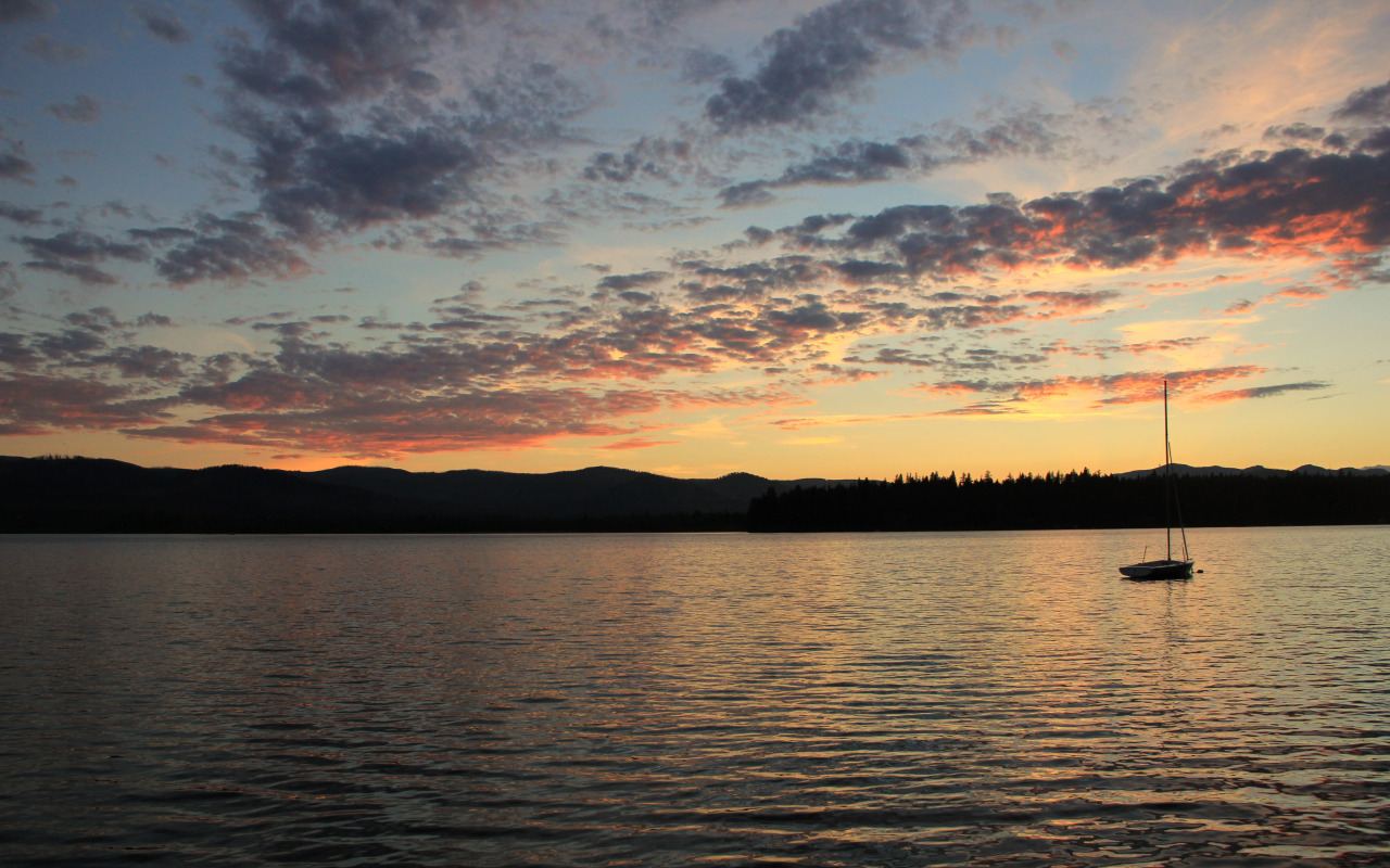
31 acres at the eastern end of Placid Lake make up this park, including the point where the lake drains into Owl Creek, a tributary of the Clearwater River. The setting supports camping, fishing, and time on the water, with the lake's scenery as the main draw. Its outlet location ties the park directly to the Clearwater River drainage system.
Hours, fees, camping, reservations and closures are set by the park and change often. Check the official park site before you go.
Getting there
Placid Lake State Park is in Missoula County, Montana, 4.2 miles south of Seeley Lake. The Directions button takes you to the park's mapped location; the entrance may be elsewhere, so check the official site for the address to use.
State parks near Placid Lake State Park
Within 60 miles, closest first, straight-line. All 44 in Montana →
- Salmon Lake State ParkState Park · Missoula County, MT5.2 miE
- Milltown State ParkState Park · Missoula County, MT25 miSW
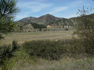 Beavertail Hill State ParkState Park · Granite County, MT28 miS
- Council Grove State ParkState Park · Missoula County, MT34 miSW
- Frenchtown Pond State ParkState Park · Missoula County, MT36 miW
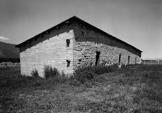 Fort Owen State ParkState Park · Ravalli County, MT50 miSW
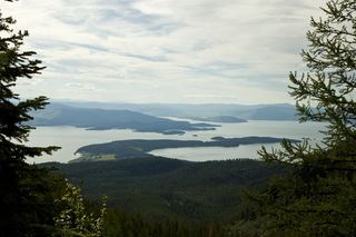 Finley Point State ParkState Park · Lake County, MT52 miNW
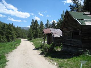 Granite State ParkState Park · Granite County, MT57 miS
- Fish Creek State ParkState Park · Mineral County, MT58 miW
Towns near Placid Lake State Park
Facts from Wikidata, checked September 25, 2026. Distances are straight-line.