State Park · Montana
Missouri Headwaters State Park
- Location
- Gallatin County, Montana
- Nearest town
- 3.3 miles northeast of Three Forks
- Type
- State Park
About Missouri Headwaters State Park
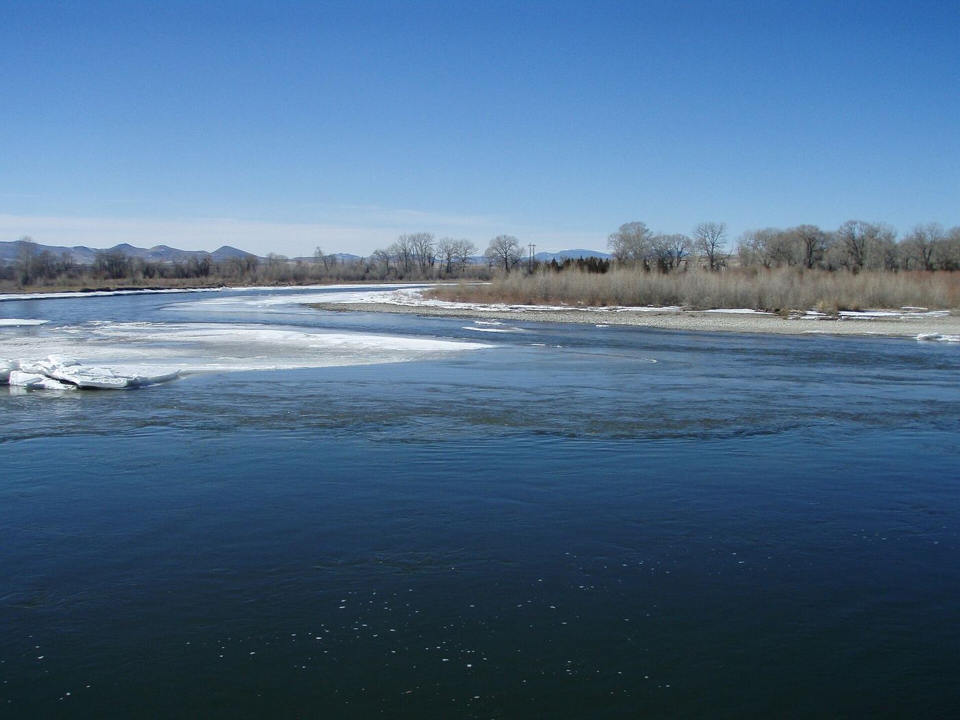
The Jefferson, Madison and Gallatin rivers converge here to form the official start of the Missouri River, a site the Lewis and Clark Expedition camped at in 1805. That confluence is designated the Three Forks of the Missouri National Historic Landmark, recognized in 1960. The park spans 535 acres at an elevation of 4,045 feet and offers camping, hiking trails, hunting, and water-related activities along the river.
Hours, fees, camping, reservations and closures are set by the park and change often. Check the official park site before you go.
Getting there
Missouri Headwaters State Park is in Gallatin County, Montana, 3.3 miles northeast of Three Forks. The Directions button takes you to the park's mapped location; the entrance may be elsewhere, so check the official site for the address to use.
State parks near Missouri Headwaters State Park
Within 60 miles, closest first, straight-line. All 44 in Montana →
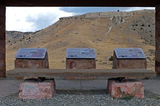 Madison Buffalo Jump State ParkState Park · Gallatin County, MT8.9 miS
- Parker Homestead State ParkState Park · Jefferson County, MT9.5 miSW
 Lewis and Clark Caverns State ParkState Park · Jefferson County, MT19 miW
- Spring Meadow Lake State ParkState Park · Lewis and Clark County, MT55 miNW
- Beaverhead Rock State ParkState Park · Madison County, MT59 miSW
 Black Sandy State ParkState Park · Lewis and Clark County, MT60 miN
Towns near Missouri Headwaters State Park
Facts from Wikidata, checked September 25, 2026. Distances are straight-line.