State Park · Montana
Black Sandy State Park
- Location
- Lewis and Clark County, Montana
- Nearest town
- 4.5 miles northeast of Helena Valley Northeast
- Type
- State Park
About Black Sandy State Park
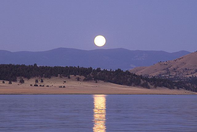
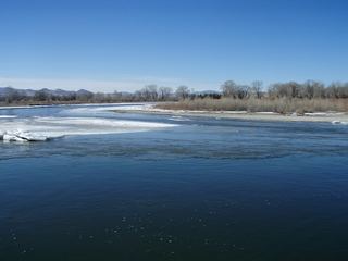
Along the Lewis and Clark National Historic Trail sits this recreation area on the western shore of Hauser Lake, a reservoir formed by damming the Missouri River. The park gives access to the water of that impoundment, so what visitors find is a lake shoreline shaped by the river behind it, not a natural lake basin. It occupies ground along a stretch of the historic trail route through Montana.
Hours, fees, camping, reservations and closures are set by the park and change often. Check the official park site before you go.
Getting there
Black Sandy State Park is in Lewis and Clark County, Montana, 4.5 miles northeast of Helena Valley Northeast. The Directions button takes you to the park's mapped location; the entrance may be elsewhere, so check the official site for the address to use.
State parks near Black Sandy State Park
Within 60 miles, closest first, straight-line. All 44 in Montana →
- Spring Meadow Lake State ParkState Park · Lewis and Clark County, MT13 miSW
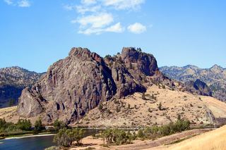 Tower Rock State ParkState Park · Cascade County, MT31 miN
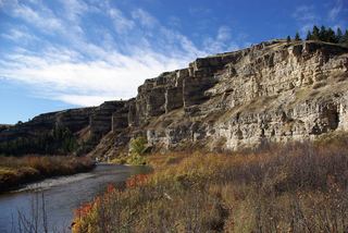 Sluice Boxes State ParkState Park · Cascade County, MT53 miNE
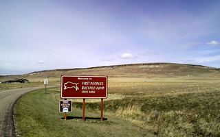 First Peoples Buffalo Jump State ParkState Park · Cascade County, MT54 miN
 Missouri Headwaters State ParkState Park · Gallatin County, MT60 miS
Towns near Black Sandy State Park
Facts from Wikidata, checked September 25, 2026. Distances are straight-line.