State Park · Ohio
Mount Gilead State Park
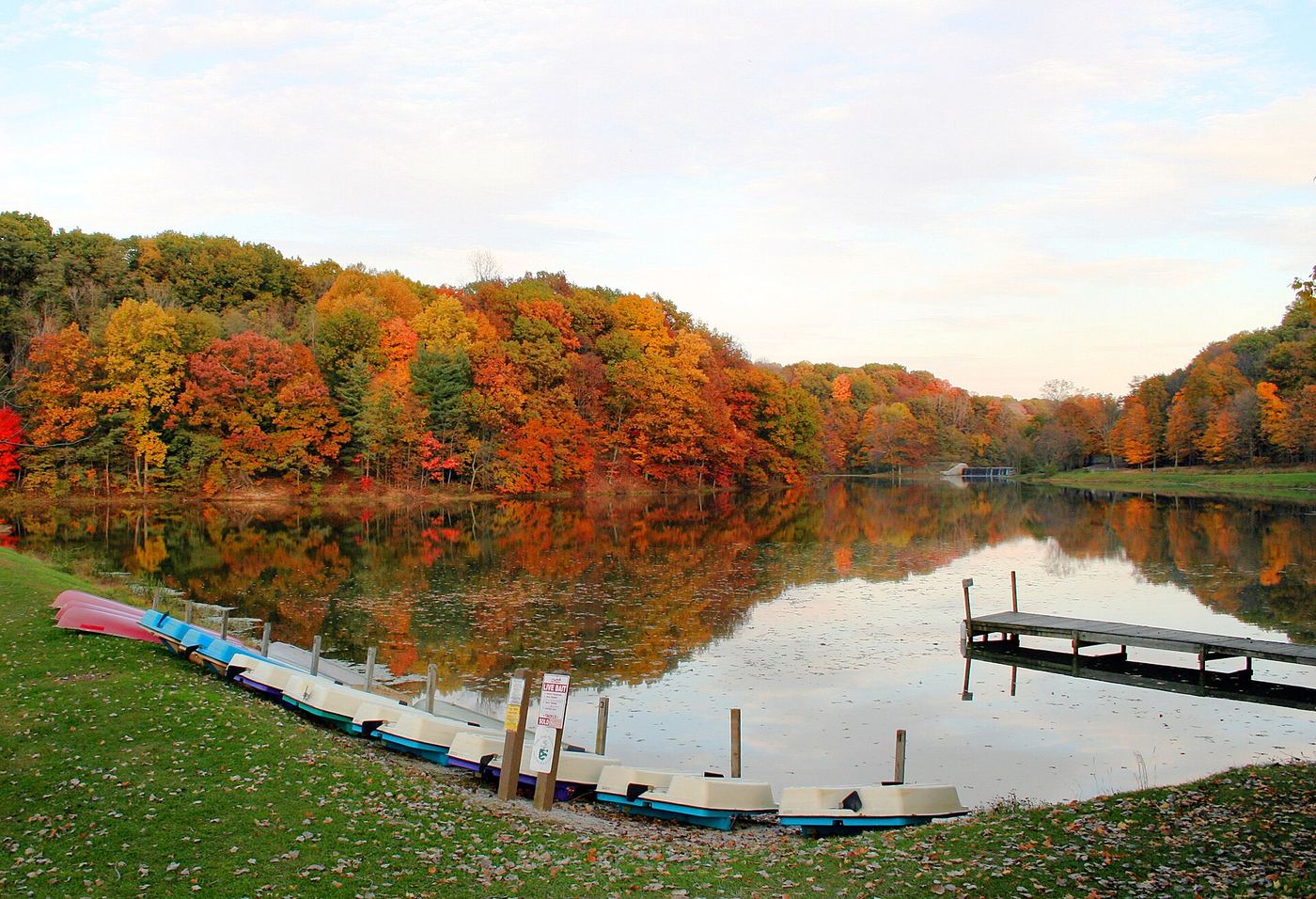
- Location
- Morrow County, Ohio
- Nearest town
- 0.6 miles east of Mount Gilead
- Type
- State Park
About Mount Gilead State Park
Two connected lakes cover 32 of the park's 181 acres, giving the grounds their layout of upper and lower water bodies linked within the same tract. Visitors can fish or use electric-motor boats on the water, hike the surrounding land, and camp or picnic on the grounds. In colder months the park allows ice skating, ice fishing, and cross-country skiing. State Route 95 provides the route into the property.
Hours, fees, camping, reservations and closures are set by the park and change often. Check the official park site before you go.
Getting there
Mount Gilead State Park is in Morrow County, Ohio, 0.6 miles east of Mount Gilead. The Directions button takes you to the park's mapped location; the entrance may be elsewhere, so check the official site for the address to use.
State parks near Mount Gilead State Park
Within 60 miles, closest first, straight-line. All 78 in Ohio →
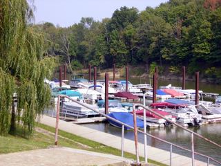 Delaware State ParkState Park · Delaware County, OH19 miSW
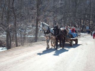 Malabar Farm State ParkState Park · Richland County, OH23 miE
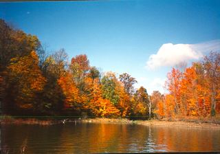 Alum Creek State ParkState Park · Delaware County, OH26 miS
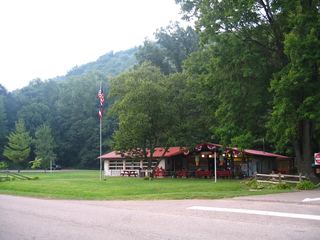 Mohican State ParkState Park · Ashland County, OH29 miE
- Buckeye Lake State ParkState Park · Licking County, OH47 miSE
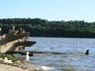 Dillon State ParkState Park · Muskingum County, OH48 miSE
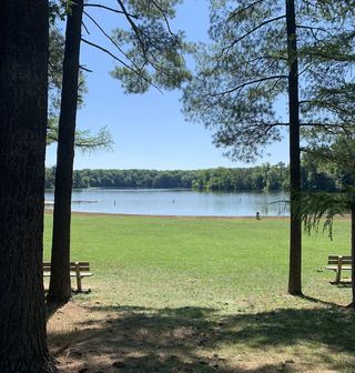 Findley State ParkState Park · Lorain County, OH51 miNE
- Indian Lake State ParkState Park · Logan County, OH55 miW
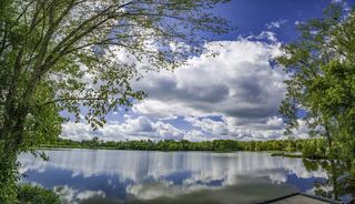 Madison Lake State ParkState Park · Madison County, OH55 miSW
Towns near Mount Gilead State Park
State parks near Marion, State parks near Bucyrus, State parks near Mount Vernon, State parks near Mansfield, State parks near Delaware, State parks near Marysville
Facts from Wikidata, checked September 25, 2026. Distances are straight-line.