State Park · Pennsylvania
Poe Paddy State Park
- Location
- Centre County, Pennsylvania
- Nearest town
- 12.2 miles northeast of Milroy
- Type
- State Park
About Poe Paddy State Park
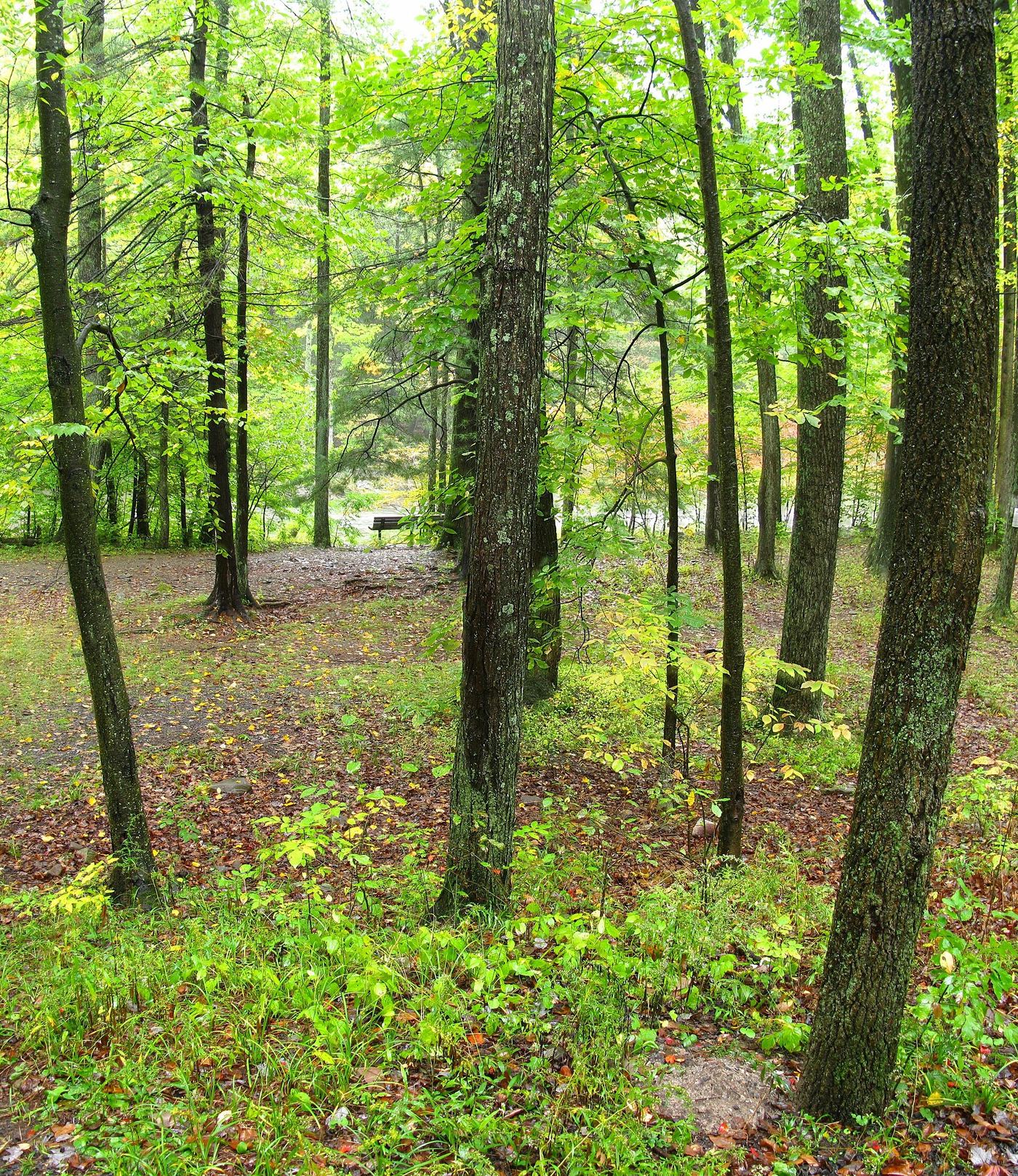
Big Poe Creek meets Penns Creek at the center of this 23-acre park, tucked between Poe Mountain to the east and Paddy Mountain to the west, the two peaks from which the park takes its name. Bald Eagle State Forest surrounds the property on all sides, and Poe Valley State Park lies four miles east. The layout puts the creek confluence and valley setting at the core of what the park protects.
Hours, fees, camping, reservations and closures are set by the park and change often. Check the official park site before you go.
Getting there
Poe Paddy State Park is in Centre County, Pennsylvania, 12.2 miles northeast of Milroy. The Directions button takes you to the park's mapped location; the entrance may be elsewhere, so check the official site for the address to use.
State parks near Poe Paddy State Park
Within 60 miles, closest first, straight-line. All 114 in Pennsylvania →
 Poe Valley State ParkState Park · Centre County, PA3.0 miW
 Reeds Gap State ParkState Park · Mifflin County, PA8.3 miS
 R. B. Winter State ParkState Park · Union County, PA16 miNE
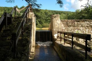 Penn-Roosevelt State ParkState Park · Huntingdon County, PA17 miSW
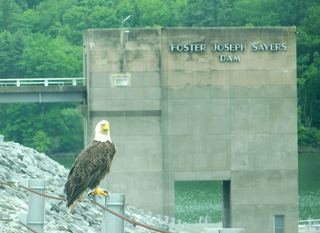 Bald Eagle State ParkState Park · Centre County, PA17 miNW
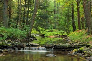 McCalls Dam State ParkState Park · Centre County, PA18 miNE
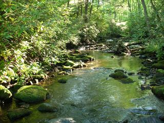 Sand Bridge State ParkState Park · Union County, PA19 miNE
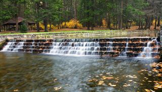 Ravensburg State ParkState Park · Clinton County, PA21 miNE
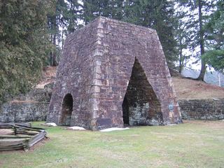 Greenwood Furnace State ParkState Park · Huntingdon County, PA22 miSW
Towns near Poe Paddy State Park
State parks near State College, State parks near Williamsport, State parks near Carlisle, State parks near Harrisburg, State parks near Shiloh
Facts from Wikidata, checked September 25, 2026. Distances are straight-line.