State Park · Pennsylvania
Blue Knob State Park
- Location
- Bedford County, Pennsylvania
- Nearest town
- 6.8 miles southeast of Beaverdale
- Type
- State Park
About Blue Knob State Park
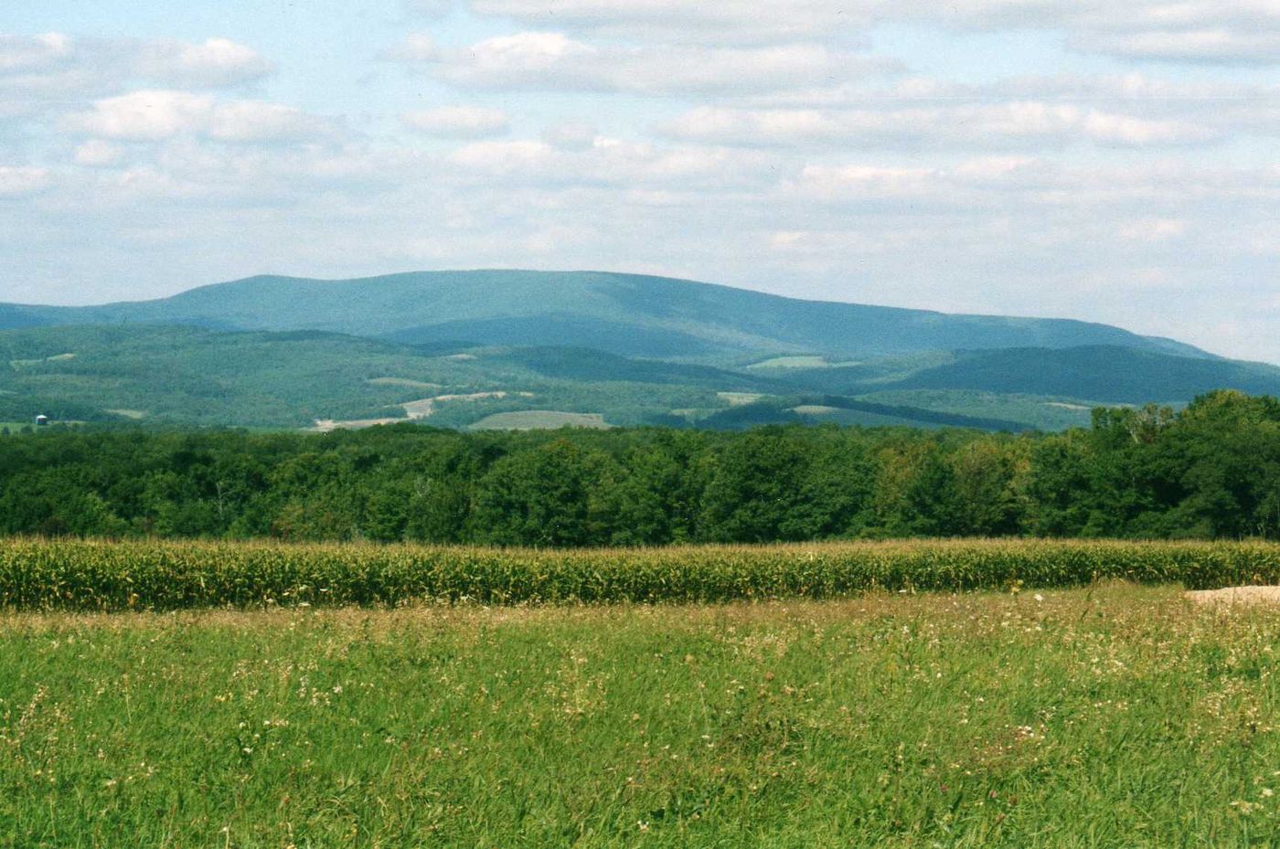
Named for the second highest mountain in Pennsylvania at 3,146 feet, this 6,128-acre tract spans Kimmel, Lincoln, and Pavia townships. The land sees about 12 feet of snowfall a year on average, and it holds Blue Knob All Seasons Resort, the ski slope with the highest elevation in the state. Access is off Interstate 99 on Route 869 west of Pavia.
Hours, fees, camping, reservations and closures are set by the park and change often. Check the official park site before you go.
Getting there
Blue Knob State Park is in Bedford County, Pennsylvania, 6.8 miles southeast of Beaverdale. The Directions button takes you to the park's mapped location; the entrance may be elsewhere, so check the official site for the address to use.
State parks near Blue Knob State Park
Within 60 miles, closest first, straight-line. All 114 in Pennsylvania →
 Shawnee State ParkState Park · Bedford County, PA18 miS
 Warriors Path State ParkState Park · Bedford County, PA18 miE
 Canoe Creek State ParkState Park · Blair County, PA22 miNE
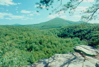 Trough Creek State ParkState Park · Huntingdon County, PA24 miE
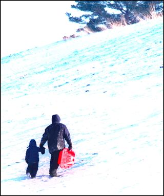 Prince Gallitzin State ParkState Park · Cambria County, PA27 miN
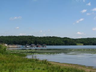 Yellow Creek State ParkState Park · Indiana County, PA31 miNW
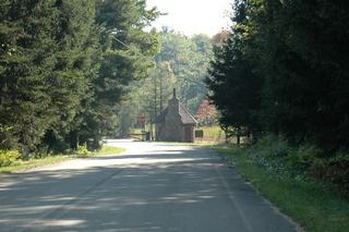 Laurel Mountain State ParkState Park · Westmoreland County, PA32 miW
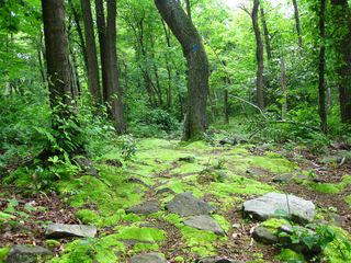 Laurel Summit State ParkState Park · Somerset County, PA33 miW
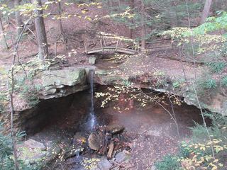 Linn Run State ParkState Park · Westmoreland County, PA35 miW
Towns near Blue Knob State Park
State parks near Johnstown, State parks near Altoona, State parks near Indiana, State parks near Cumberland
Facts from Wikidata, checked September 25, 2026. Distances are straight-line.