State Park · Pennsylvania
Warriors Path State Park
- Location
- Bedford County, Pennsylvania
- Nearest town
- 8.7 miles southeast of Martinsburg
- Type
- State Park
About Warriors Path State Park
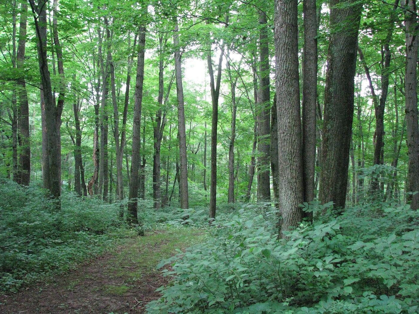
Bordered on three sides by the Raystown Branch Juniata River, this 349-acre tract in Liberty Township takes its name from the Great Indian Warpath, a route once used by the Iroquois during raids against the Cherokee and other tribes. It operates as a seasonal day use area, with the main gate closed from November through mid-April, though visitors can still reach the grounds on foot during that stretch.
Hours, fees, camping, reservations and closures are set by the park and change often. Check the official park site before you go.
Getting there
Warriors Path State Park is in Bedford County, Pennsylvania, 8.7 miles southeast of Martinsburg. The Directions button takes you to the park's mapped location; the entrance may be elsewhere, so check the official site for the address to use.
State parks near Warriors Path State Park
Within 60 miles, closest first, straight-line. All 114 in Pennsylvania →
 Trough Creek State ParkState Park · Huntingdon County, PA11 miNE
 Blue Knob State ParkState Park · Bedford County, PA18 miW
 Canoe Creek State ParkState Park · Blair County, PA20 miN
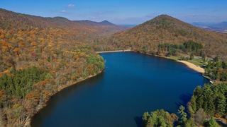 Cowans Gap State ParkState Park · Fulton County, PA22 miSE
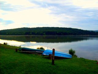 Shawnee State ParkState Park · Bedford County, PA23 miSW
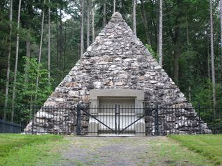 Buchanan's Birthplace State ParkState Park · Franklin County, PA28 miSE
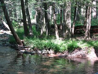 Fowlers Hollow State ParkState Park · Perry County, PA36 miE
 Prince Gallitzin State ParkState Park · Cambria County, PA36 miNW
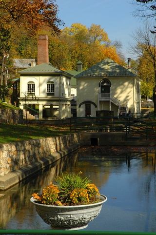 Berkeley Springs State ParkState Park · Morgan County, WV39 miS
Towns near Warriors Path State Park
State parks near Altoona, State parks near Chambersburg, State parks near Johnstown, State parks near Cumberland, State parks near State College, State parks near Hagerstown
Facts from Wikidata, checked September 25, 2026. Distances are straight-line.