State Park · Pennsylvania
Point State Park
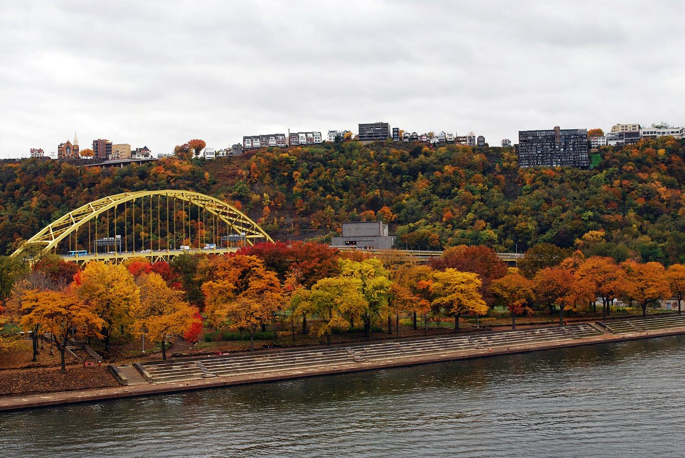
- Location
- Allegheny County, Pennsylvania
- Nearest town
- 0.8 miles west of Pittsburgh
- Type
- State Park
About Point State Park
Thirty-six acres of land mark the confluence of the Allegheny and Monongahela rivers, where the two join to form the Ohio River. The park occupies this junction point directly, sitting at the water meeting rather than along a single riverbank. Its location places it within Downtown Pittsburgh, on the point of land the rivers themselves create.
Hours, fees, camping, reservations and closures are set by the park and change often. Check the official park site before you go.
Getting there
Point State Park is in Allegheny County, Pennsylvania, 0.8 miles west of Pittsburgh. The Directions button takes you to the park's mapped location; the entrance may be elsewhere, so check the official site for the address to use.
State parks near Point State Park
Within 60 miles, closest first, straight-line. All 114 in Pennsylvania →
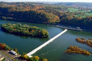 Allegheny Islands State ParkState Park · Allegheny County, PA12 miNE
 Hillman State ParkState Park · Washington County, PA19 miW
 Raccoon Creek State ParkState Park · Beaver County, PA23 miW
- Tomlinson Run State ParkState Park · Hancock County, WV31 miW
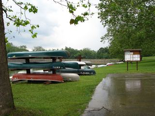 Keystone State ParkState Park · Westmoreland County, PA33 miE
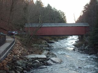 McConnells Mill State ParkState Park · Lawrence County, PA35 miN
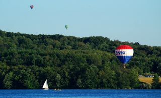 Moraine State ParkState Park · Butler County, PA36 miN
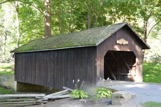 Beaver Creek State ParkState Park · Columbiana County, OH37 miNW
- Jefferson Lake State ParkState Park · Jefferson County, OH42 miW
Towns near Point State Park
State parks near Pittsburgh, State parks near Murrysville, State parks near Cranberry Township, State parks near Washington, State parks near Weirton Heights, State parks near Butler
Facts from Wikidata, checked September 25, 2026. Distances are straight-line.