State Park · Tennessee
Burgess Falls State Park
- Location
- Putnam County, Tennessee
- Nearest town
- 8.1 miles south of Baxter
- Type
- State Park
About Burgess Falls State Park
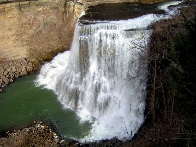
A drop of 250 feet in elevation over less than a mile defines the gorge here, carved by the Falling Water River as it descends toward a 136-foot cataract waterfall. The park is designated a state natural area as well as a state park, spanning land in both Putnam and White counties. Its terrain centers on this steep river gorge rather than flat parkland, ending in the tall single waterfall that gives the park its name.
Hours, fees, camping, reservations and closures are set by the park and change often. Check the official park site before you go.
Getting there
Burgess Falls State Park is in Putnam County, Tennessee, 8.1 miles south of Baxter. The Directions button takes you to the park's mapped location; the entrance may be elsewhere, so check the official site for the address to use.
State parks near Burgess Falls State Park
Within 60 miles, closest first, straight-line. All 53 in Tennessee →
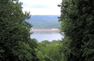 Edgar Evins State ParkState Park · DeKalb County, TN13 miW
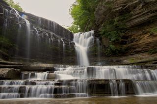 Cummins Falls State ParkState Park · Jackson County, TN15 miN
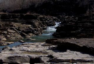 Rock Island State ParkState Park · Warren County, TN16 miS
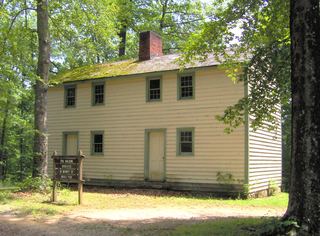 Standing Stone State ParkState Park · Overton County, TN31 miN
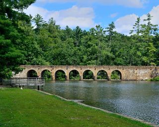 Cumberland Mountain State ParkState Park · Cumberland County, TN34 miE
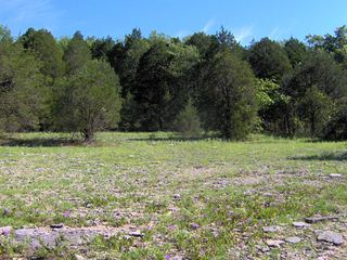 Cedars of Lebanon State ParkState Park · Wilson County, TN40 miW
- Savage Gulf State ParkState Park · Grundy County, TN41 miS
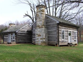 Cordell Hull Birthplace State ParkState Park · Pickett County, TN44 miNE
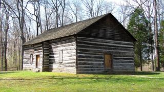 Old Mulkey Meetinghouse State Historic SiteState Historic Site · Monroe County, KY44 miN
Towns near Burgess Falls State Park
State parks near Cookeville, State parks near McMinnville, State parks near Crossville, State parks near Lebanon, State parks near Murfreesboro
Facts from Wikidata, checked September 25, 2026. Distances are straight-line.