State Park · Tennessee
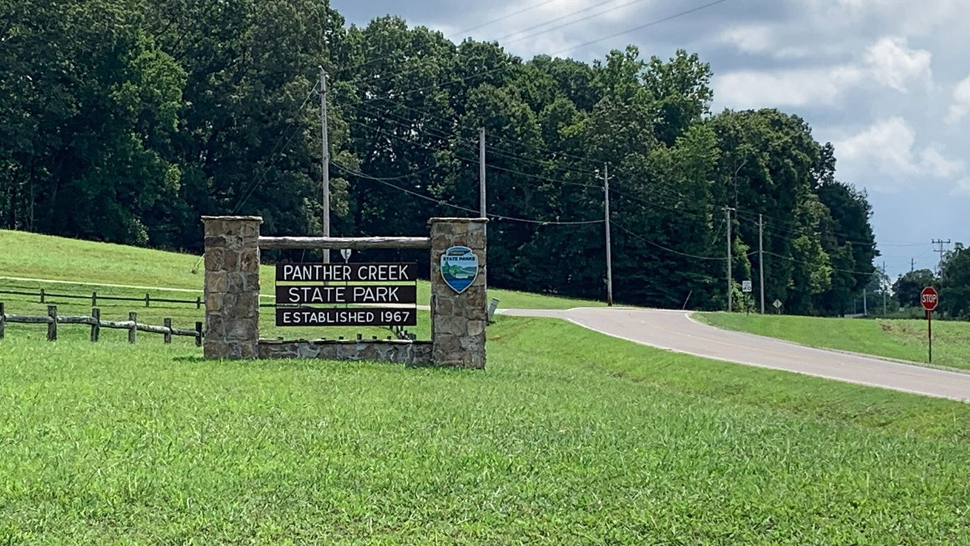
Panther Creek State Park
- Location
- Hamblen County, Tennessee
- Nearest town
- 6.3 miles west of Morristown
- Type
- State Park
About Panther Creek State Park
Cherokee Dam's construction on the Holston River created Cherokee Lake, and this park sits along its shore, covering about 1,444 acres. Tennessee State Route 342 begins inside the park and links it to U.S. Route 11E, giving direct road access to the lakefront land.
Hours, fees, camping, reservations and closures are set by the park and change often. Check the official park site before you go.
Getting there
Panther Creek State Park is in Hamblen County, Tennessee, 6.3 miles west of Morristown. The Directions button takes you to the park's mapped location; the entrance may be elsewhere, so check the official site for the address to use.
State parks near Panther Creek State Park
Within 60 miles, closest first, straight-line. All 53 in Tennessee →
 Big Ridge State ParkState Park · Union County, TN29 miW
- Wilderness Road State ParkState Park · Lee County, VA30 miN
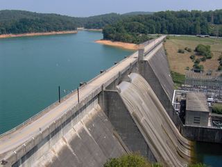 Norris Dam State ParkState Park · Campbell County, TN39 miW
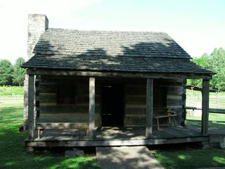 Davy Crockett Birthplace State ParkState Park · Greene County, TN42 miE
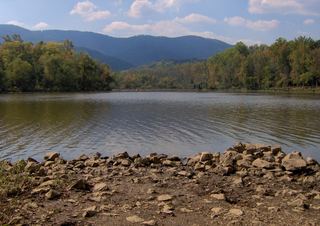 Cove Lake State ParkState Park · Campbell County, TN45 miW
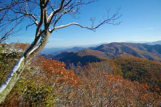 Lamar Alexander Rocky Fork State ParkState Park · Unicoi County, TN48 miE
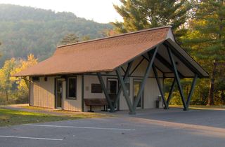 Indian Mountain State ParkState Park · Campbell County, TN48 miNW
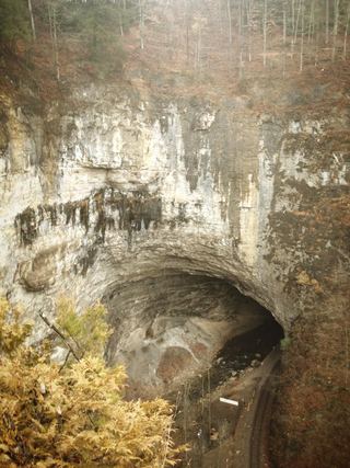 Natural Tunnel State ParkState Park · Scott County, VA50 miNE
- Warriors' Path State ParkState Park · Sullivan County, TN55 miE
Towns near Panther Creek State Park
State parks near Morristown, State parks near Sevierville, State parks near Middlesboro, State parks near Greeneville, State parks near Knoxville
Facts from Wikidata, checked September 25, 2026. Distances are straight-line.