State Park · Tennessee
Warriors' Path State Park
- Location
- Sullivan County, Tennessee
- Nearest town
- 1.2 miles east of Colonial Heights
- Type
- State Park
About Warriors' Path State Park
950 acres surround Fort Patrick Henry Reservoir and Duck Island along the South Fork Holston River. The grounds were purchased from the Tennessee Valley Authority in 1952 and carry the name of the Great Indian Warpath, a route once traveled by the Iroquois during conflicts with the Cherokee and other tribes. Water frontage and the island make up much of the setting here.
Hours, fees, camping, reservations and closures are set by the park and change often. Check the official park site before you go.
Getting there
Warriors' Path State Park is in Sullivan County, Tennessee, 1.2 miles east of Colonial Heights. The Directions button takes you to the park's mapped location; the entrance may be elsewhere, so check the official site for the address to use.
State parks near Warriors' Path State Park
Within 60 miles, closest first, straight-line. All 53 in Tennessee →
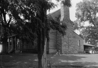 Tipton-Haynes State Historic SiteState Historic Site · Washington County, TN16 miSE
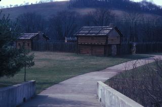 Sycamore Shoals State Historic AreaState Historic Site · Carter County, TN16 miSE
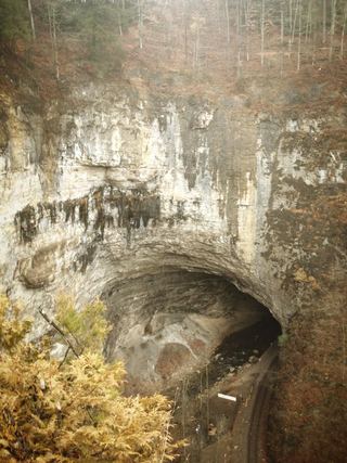 Natural Tunnel State ParkState Park · Scott County, VA21 miNW
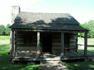 Davy Crockett Birthplace State ParkState Park · Greene County, TN22 miSW
 Southwest Virginia Museum Historical State ParkState Park · Wise County, VA30 miNW
 Lamar Alexander Rocky Fork State ParkState Park · Unicoi County, TN31 miS
 Roan Mountain State ParkState Park · Carter County, TN31 miSE
- Kingdom Come State ParkState Park · Harlan County, KY44 miNW
- Grandfather Mountain State ParkState Park · Watauga County, NC45 miSE
Towns near Warriors' Path State Park
State parks near Kingsport, State parks near Johnson City, State parks near Bristol, State parks near Greeneville, State parks near Boone, State parks near Morristown
Facts from Wikidata, checked September 25, 2026. Distances are straight-line.