State Park · Washington
Lake Lenore Caves State Park
- Location
- Grant County, Washington
- Nearest town
- 5.5 miles north of Soap Lake
- Type
- State Park
About Lake Lenore Caves State Park
Basalt coulee cliffs rise above Lake Lenore, hollowed into shallow rock shelters that give the park its name. These formations sit within Lenore Canyon, carved when the ancient Missoula floods scoured out the same terrain that formed the Channeled Scablands. The park is included in the Ice Age Floods National Geologic Trail, tying its cliffs and shelters to that broader geologic history rather than to any built attraction.
Hours, fees, camping, reservations and closures are set by the park and change often. Check the official park site before you go.
Getting there
Lake Lenore Caves State Park is in Grant County, Washington, 5.5 miles north of Soap Lake. The Directions button takes you to the park's mapped location; the entrance may be elsewhere, so check the official site for the address to use.
State parks near Lake Lenore Caves State Park
Within 60 miles, closest first, straight-line. All 140 in Washington →
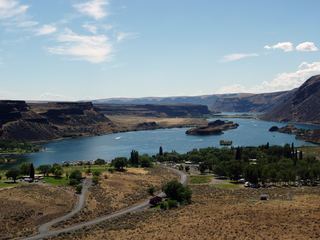 Sun Lakes-Dry Falls State ParkState Park · Grant County, WA12 miNE
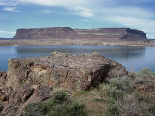 Steamboat Rock State ParkState Park · Grant County, WA33 miNE
 Potholes State ParkState Park · Grant County, WA35 miS
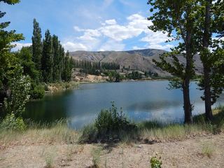 Daroga State ParkState Park · Chelan County, WA35 miW
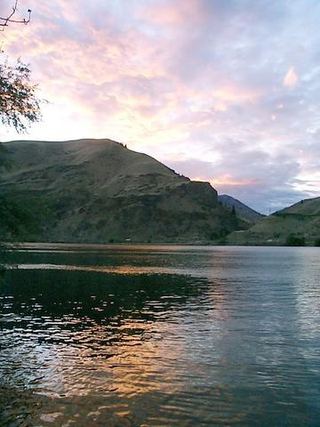 Lincoln Rock State ParkState Park · Chelan County, WA37 miW
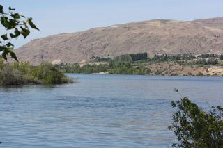 Wenatchee Confluence State ParkState Park · Chelan County, WA38 miW
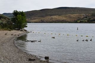 Bridgeport State ParkState Park · Okanogan County, WA38 miN
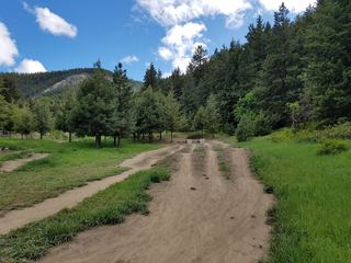 Squilchuck State ParkState Park · Chelan County, WA42 miW
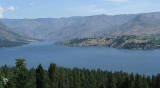 Lake Chelan State ParkState Park · Chelan County, WA42 miNW
Towns near Lake Lenore Caves State Park
Facts from Wikidata, checked September 25, 2026. Distances are straight-line.