State Park · Washington
Potholes State Park
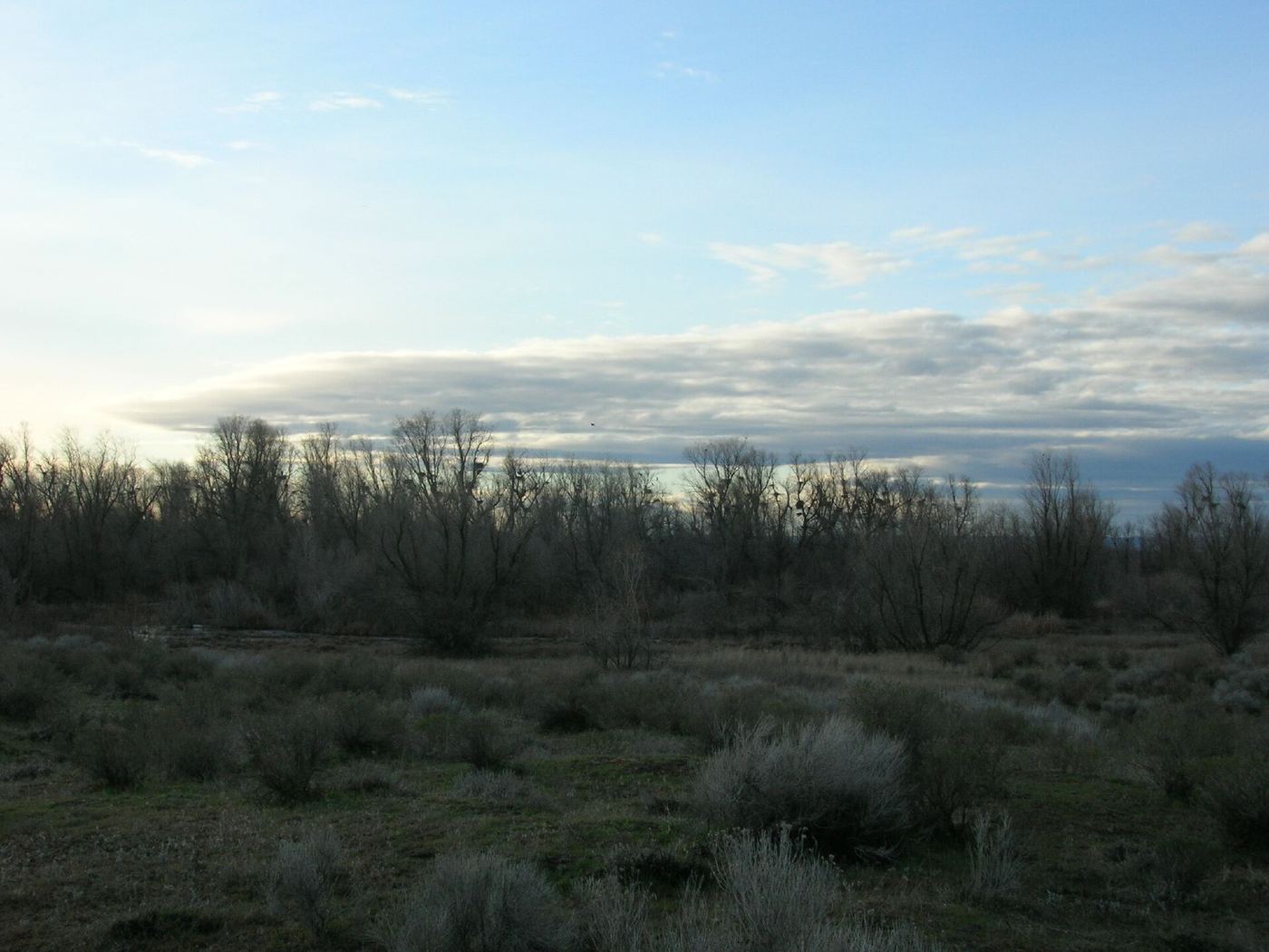
- Location
- Grant County, Washington
- Nearest town
- 10.8 miles south of Cascade Valley
- Type
- State Park
About Potholes State Park
773 acres of shoreline sit along the southern edge of Potholes Reservoir, formed after the O'Sullivan Dam was finished in 1949. The park stretches across 6,000 feet of shoreline, with access to the reservoir for boating, swimming, and fishing, along with trails for hiking and space set aside for camping.
Hours, fees, camping, reservations and closures are set by the park and change often. Check the official park site before you go.
Getting there
Potholes State Park is in Grant County, Washington, 10.8 miles south of Cascade Valley. The Directions button takes you to the park's mapped location; the entrance may be elsewhere, so check the official site for the address to use.
State parks near Potholes State Park
Within 60 miles, closest first, straight-line. All 140 in Washington →
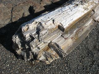 Ginkgo Petrified Forest State ParkState Park · Kittitas County, WA31 miW
- Lake Lenore Caves State ParkState Park · Grant County, WA35 miN
- Iron Horse State ParkState Park · Kittitas County, WA40 miW
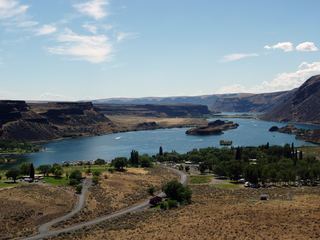 Sun Lakes-Dry Falls State ParkState Park · Grant County, WA43 miN
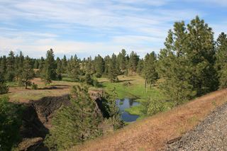 Columbia Plateau State Park TrailState Park · Franklin County, WA44 miSE
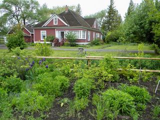 Olmstead Place State ParkState Park · Kittitas County, WA53 miW
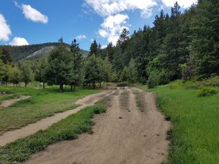 Squilchuck State ParkState Park · Chelan County, WA53 miNW
- Helen McCabe State ParkState Park · Kittitas County, WA55 miW
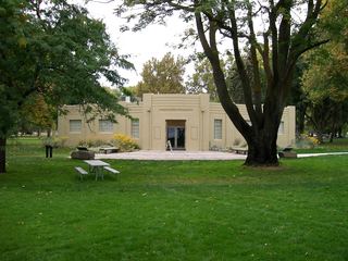 Sacajawea State ParkState Park · Franklin County, WA56 miS
Towns near Potholes State Park
Facts from Wikidata, checked September 25, 2026. Distances are straight-line.