State Park · Washington
Sun Lakes-Dry Falls State Park
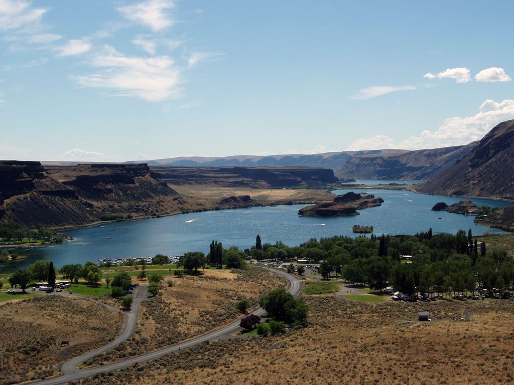
- Location
- Grant County, Washington
- Nearest town
- 15.5 miles northeast of Soap Lake
- Type
- State Park
About Sun Lakes-Dry Falls State Park
A dry waterfall cliff rises above the park, marking the head of the Lower Grand Coulee where the land drops into a channel carved by ancient floodwaters. The park spreads across 3,774 acres along Route 17, protecting this coulee landscape and the terrain surrounding it. It sits three miles west of Coulee City, within a stretch of public land set aside for recreation.
Hours, fees, camping, reservations and closures are set by the park and change often. Check the official park site before you go.
Getting there
Sun Lakes-Dry Falls State Park is in Grant County, Washington, 15.5 miles northeast of Soap Lake. The Directions button takes you to the park's mapped location; the entrance may be elsewhere, so check the official site for the address to use.
State parks near Sun Lakes-Dry Falls State Park
Within 60 miles, closest first, straight-line. All 140 in Washington →
- Lake Lenore Caves State ParkState Park · Grant County, WA12 miSW
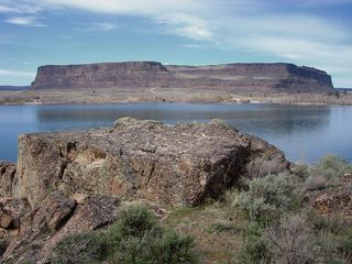 Steamboat Rock State ParkState Park · Grant County, WA21 miNE
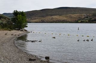 Bridgeport State ParkState Park · Okanogan County, WA31 miN
- Crown Point State ParkState Park · Douglas County, WA31 miNE
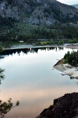 Alta Lake State ParkState Park · Okanogan County, WA40 miNW
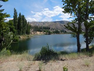 Daroga State ParkState Park · Chelan County, WA40 miW
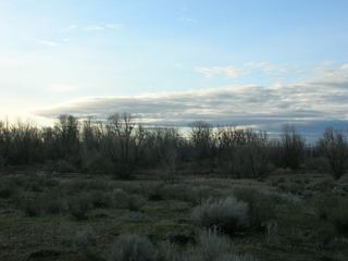 Potholes State ParkState Park · Grant County, WA43 miS
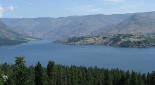 Lake Chelan State ParkState Park · Chelan County, WA43 miNW
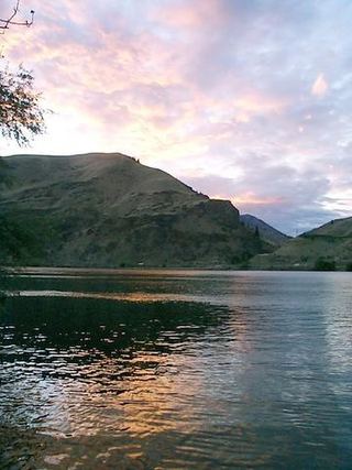 Lincoln Rock State ParkState Park · Chelan County, WA44 miW
Towns near Sun Lakes-Dry Falls State Park
Facts from Wikidata, checked September 25, 2026. Distances are straight-line.