State Park · Washington
Olallie State Park
- Location
- King County, Washington
- Nearest town
- 5 miles southeast of Riverbend
- Type
- State Park
About Olallie State Park
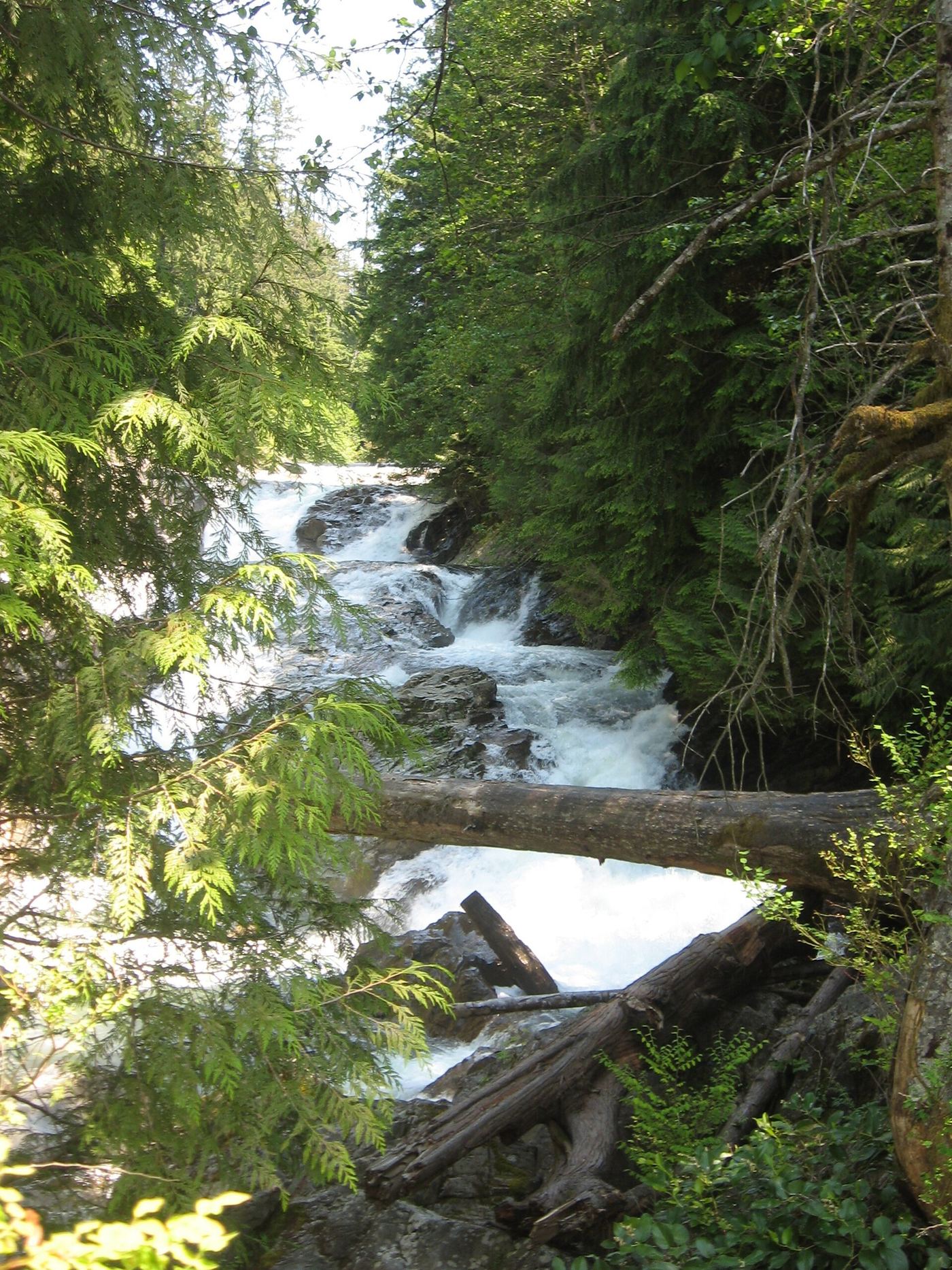
Twin Falls drops 135 feet, the most prominent feature along this stretch of protected land. The park follows 3.5 miles of the South Fork Snoqualmie River, taking in multiple waterfalls scattered through the corridor. The river forms the spine of the park, with the falls marking its best-known point.
Hours, fees, camping, reservations and closures are set by the park and change often. Check the official park site before you go.
Getting there
Olallie State Park is in King County, Washington, 5 miles southeast of Riverbend. The Directions button takes you to the park's mapped location; the entrance may be elsewhere, so check the official site for the address to use.
State parks near Olallie State Park
Within 60 miles, closest first, straight-line. All 140 in Washington →
 Kanaskat-Palmer State ParkState Park · King County, WA14 miSW
 Nolte State ParkState Park · King County, WA18 miSW
- Squak Mountain State ParkState Park · King County, WA19 miW
 Federation Forest State ParkState Park · King County, WA20 miS
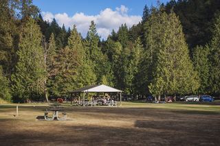 Flaming Geyser State ParkState Park · King County, WA21 miSW
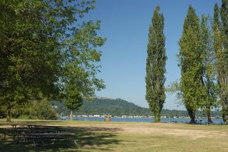 Lake Sammamish State ParkState Park · King County, WA21 miNW
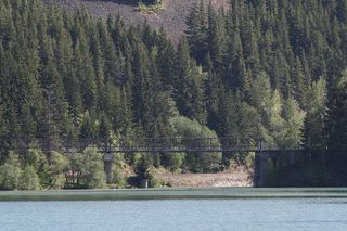 Lake Easton State ParkState Park · Kittitas County, WA25 miSE
- Forks of the Sky State ParkState Park · Snohomish County, WA27 miN
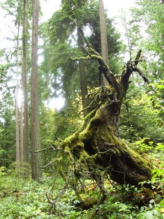 Bridle Trails State ParkState Park · King County, WA28 miNW
Towns near Olallie State Park
State parks near Snoqualmie, State parks near Enumclaw, State parks near East Hill-Meridian, State parks near Cottage Lake, State parks near Seattle, State parks near Tacoma
Facts from Wikidata, checked September 25, 2026. Distances are straight-line.